2012.13.1.55.24
·
Item
·
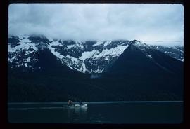
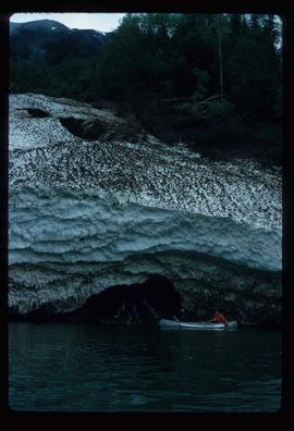
1971
Part of J. Kent Sedgwick fonds
Image depicts the snow still remaining from an avalanche at Lanezi Lake. Two people are also seen canoeing on the lake.