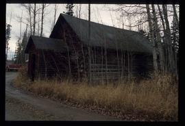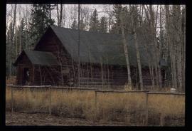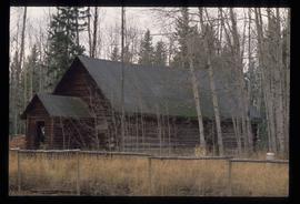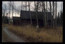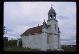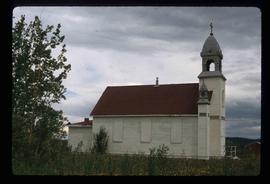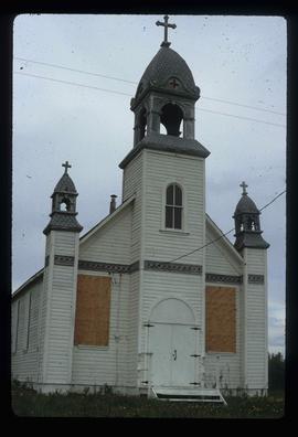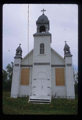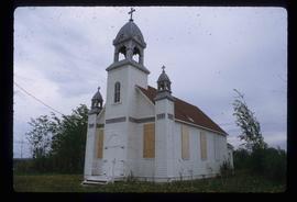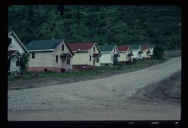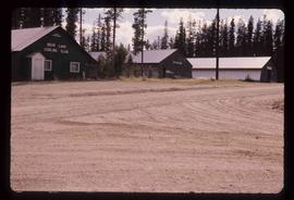
2012.13.1.4.05
·
Item
·
Aug. 1976
Part of J. Kent Sedgwick fonds
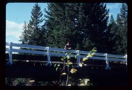
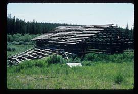
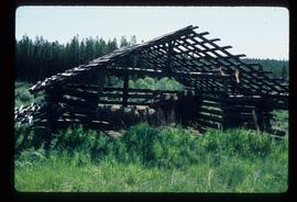
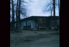
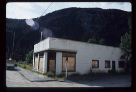
Image depicts the curling club and skating rink buildings in Bear Lake, B.C.