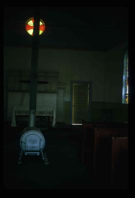
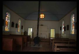
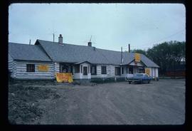
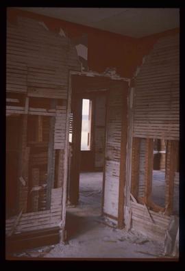
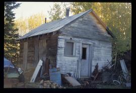
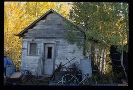
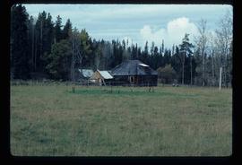
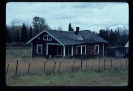
Showing 1706 results

Archival description
1595 results with digital objects Show results with digital objects
2012.13.1.135.01.11 · Item · [between 1980 and 2000]
Part of J. Kent Sedgwick fonds

Photograph depicts a residential building at 1612 12th Avenue, the building was used as "Prince Realty". Annotation on verso: "1612 - 12th Ave., NW corner of Vancouver."

River and Snow
2012.13.1.87.154 · Item · [between 1975 and 1995]
Part of J. Kent Sedgwick fonds

Image depicts what appears to be a small, narrow river, and mounds of snow. The location is uncertain.

Road and Junkyard
2012.13.1.82.22 · Item · 1980
Part of J. Kent Sedgwick fonds

Image depicts a road with what appears to be a junkyard to the right of the image, likely located somewhere in Seton Portage, B.C.

Robin Hood Flour
2012.13.1.50.068 · Item · [1978?]
Part of J. Kent Sedgwick fonds

Image depicts an old log cabin with the sign "Robin Hood Flour" on it at an uncertain location. It is possibly at the 153 Mile House.

2012.13.1.135.01.05 · Item · [between 1980 and 2000]
Part of J. Kent Sedgwick fonds

Photograph depicts Rosel's restaurant at 1624 7th Avenue. Rosel's restaurant was owned and operated by Wilfred and Rosel Vogt from 1981 to 1997. The building was built in 1916 and was originally owned by Dr. Carl Ewart and later owned by Hubert King of Wilson, King and Company, the oldest law firm in Prince George, after 1946. The building is now a designated heritage building.

Rudi's Bridge
2012.13.1.50.059 · Item · 1978
Part of J. Kent Sedgwick fonds

Image depicts a small foot bridge at an unknown location. The slide is simply labelled "Rudi's Bridge."

Ruined Cars
2012.13.1.22.16 · Item · 1970
Part of J. Kent Sedgwick fonds

Image depicts several old, ruined cars and an unknown individual in Island Cache.

Salvation Army
2012.13.1.3.112 · Item · 12 Oct. 1989
Part of J. Kent Sedgwick fonds

Image depicts the Salvation Army on Ospika Boulevard in Prince George, B.C. Map coordinates 53°55'02.6"N 122°47'41.6"W.

Salvation Army
2012.13.1.3.114 · Item · 12 Oct. 1989
Part of J. Kent Sedgwick fonds

Image depicts the Salvation Army on Ospika Boulevard in Prince George, B.C. Map coordinates 53°55'02.6"N 122°47'41.6"W

Sawmill
2012.13.1.3.141 · Item · Dec. 1997
Part of J. Kent Sedgwick fonds

Image depicts a sawmill, possibly Lakeland Sawmill, in Prince George B.C.

Sawmill
2012.13.1.122.15 · Item · [1979?]
Part of J. Kent Sedgwick fonds

Image depicts logs being stripped of their bark at a saw mill in Prince George, B.C.