2012.13.1.7.215
·
Item
·
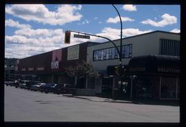
May 2001
Part of J. Kent Sedgwick fonds
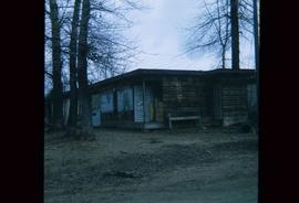
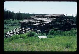
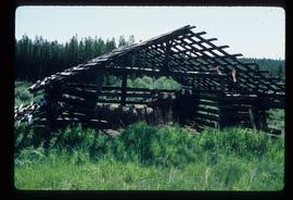
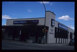
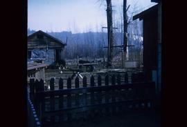
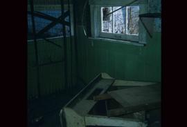
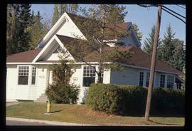
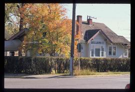
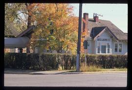
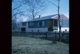
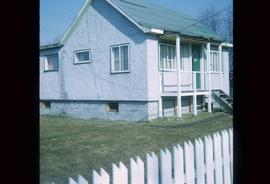
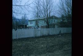
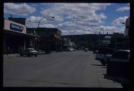
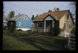
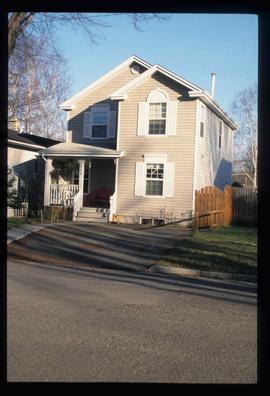
Image depicts an unknown building under construction at the corner of 6th Avenue and Dominion Street in Prince George, B.C.