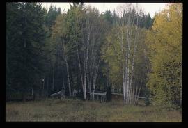
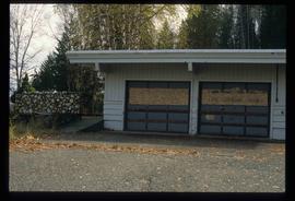
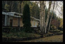
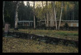
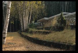
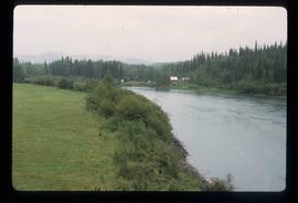
Image depicts the Germansen River, with the buildings of Germansen Landing visible on the other side.
Image depicts a child in the foreground, and the Germansen Landing trading post in the background in Germansen Landing, B.C.
Image depicts a helicopter in Germansen Landing, B.C.
Image depicts the Germansen Landing Trading Post.
Image depicts an unknown woman standing in front of a truck that either weighs 80 tonnes, or is capable of carrying that much; the slide is simply labelled "80 tons." It is located at the Gibraltar mine site.
Image depicts the interior of the Gibraltar chemical mill, where they separate the molybdenum.
Image depicts the Gibraltar mine site north of Williams Lake, B.C.
Image depicts an 80 tonne truck full of rocks at the Gibraltar mine site north of Williams Lake, B.C.
Image depicts a number of workers putting in blasting powder at the Gibraltar mine site north of Williams Lake, B.C.
Image depicts a loading truck at the Gibraltar mine site north of Williams Lake, B.C.
Image depicts an aerial view of the Gibraltar mine site's pits and waste dumps, north of Williams Lake, B.C.
Photograph depicts "Gifts to Remember," a gift shop on 3rd Avenue, The Bay in the background.
Image depicts the Ginter House in Prince George, B.C.
Image depicts the Ginter House and the surrounding woods, in Prince George, B.C.
Image depicts the Ginter House in Prince George, B.C.
Image depicts what appears to be a part of a fence on the Ginter Property in Prince George, B.C.
Image depicts a swimming pool filled with debris in the interior of the Ginter House in Prince George, B.C.
Image depicts the interior of the Ginter House in Prince George, B.C.
Image depicts a private driveway, most likely leading to the Ginter Property in Prince George, B.C.
Image depicts a road near the Ginter House in Prince George, B.C.
Image depicts the Ginter Property in Prince George, B.C.
Image depicts the Giscome, B.C. town site with the Giscome railway station and the Giscome store in the center surrounded by vehicles. Map coordinates 54°04'18.5"N 122°21'57.7"W
Image depicts a Catholic church in Giscome, B.C. Map coordinates 54°04'15.5"N 122°21'52.1"W
Image depicts a church in Giscome, B.C. Map coordinates 54°04'16.2"N 122°21'54.3"W
Image depicts the CN Station, with bundles of wood sitting near the tracks, in Giscome, B.C. Map coordinates 54°04'32.3"N 122°21'42.3"W
Image depicts mill site and dock in Giscome, B.C. with Eaglet Lake in the background covered in ice. There is a large crowd of people gathered near the dock. Map coordinates 54°04'34.9"N 122°21'50.0"W
Image depicts the remains of a street of houses in Giscome, B.C. The quarry is slightly visible in the background. Map coordinates 54°04'20.9"N 122°21'53.1"W
Image depicts a street of houses in Giscome, B.C. Map coordinates 54°04'20.9"N 122°21'53.1"W
Image depicts the Giscome mill site in Giscome, B.C. The railroad tracks are in the foreground. Map coordinates 54°04'17.6"N 122°22'06.1"W
Image depicts the Giscome mill site in Giscome, B.C. The bunkhouse is the large building with many windows. A train and railroad tracks are in the foreground. Map coordinates 54°04'17.6"N 122°22'06.1"W
Image depicts the Giscome bunkhouse in Giscome, B.C. Map coordinates 54°04'17.6"N 122°22'06.1"W
Image depicts the old CN station in Giscome, B.C. Map coordinates 54°04'20.7"N 122°22'01.1"W
Image depicts the new CN station in Giscome, B.C. Map coordinates 54°04'20.7"N 122°22'01.1"W