The item is a photograph that depicts Erle's Iron Works shop with a man outside welding the turrets for the Sikh temple. Annotation states, "Erle Muntz."
The item is a photograph that depicts Erle's Iron Works shop with a man outside welding the turrets for the Sikh temple. Annotation states "Erle Muntz."
The photograph depicts a workshop for maintenance on train engines at the interior of the CN roundhouse in Prince George, BC. Reproduction of photograph from 1984.
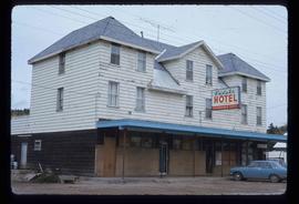
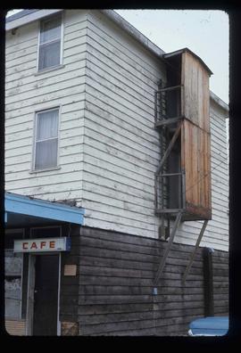
Image depicts the Endako Hotel in Endako, B.C.
Image depicts the Endako Hotel in Endako, B.C.
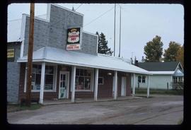
Image depicts the Endako General Store in Endako, B.C.
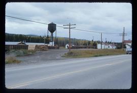
Image depicts a train passing through Endako, B.C.
The item is a photograph depicting the end of Clanston Road. Annotation on reverse side of photograph states, "end of Clanston Rd."
File consists of notes, clippings, and reproductions relating to encouraging settlement and immigration to Prince George. Includes material on Dutch settlement in Prince George; the Hornby Plan, a 1933 settlement plan by the Canadian National Railway to develop communities and stimulate business for the railway, particularly in Prince George; promoting Prince George for settlers; reserved land for veterans; and auction of lands to cover delinquent taxes in British Columbia.
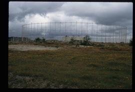
Image depicts a building surrounded by a tall, circular enclosure somewhere on Haida Gwaii, B.C.
The item is a 35 mm photograph negative of empty lots prepared for development in Prince George.
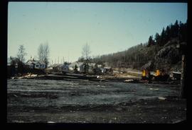
Image depicts employee houses on mill site in Giscome, B.C. Tug boats are in the foreground on the right. Map coordinates 54°04'23.4"N 122°22'16.9"W
The item is a blueprint depicting proposed floor extensions for Walter Blaufuss. Blueprints depict the exterior of the building. Building address was 535 Dominion Street, Prince George. The architect is W. Ralph Brownlee and drawn by E. O. E. Blueprints indicate it is designated as "job 5304" and "sheet W.3." Notes attached to the blueprint state, "Acme Electric adjacent on north" and "w. side of."
The item is a photograph depicting a red feed-saver automatic electric waterer.
File consists of notes, clippings, and reproductions relating to electric power in Prince George. Includes the following clipped articles from the Prince George Citizen newspaper: "Lighting controversy a tempest in a light bulb" (Jan. 2009) and "Lighting up the night" (Aug. 2003). Also includes a "Heritage site inventory" typescript document and a photograph depicting the powerhouse in Prince George [before 1999].
File contains slides depicting places along the east line of the BC Railway.
The item is a CD-R depicting photographs depicting the East Line. The CD-R contains approximately 528 photographs in .psd format. Annotations on attached note states, "EAST LINE SLIDES - Copyright J. Kent Sedgwick - Please do not copy disk."
File consists of lists and printed emails relating to slides and photographs depicting the East Line. Includes a CD that contains slides and photographs depicting the East Line (2000).
File consists of notes and clippings relating to schools along the East Line.
File consists of notes and printed photographs relating to the East Line. The file includes photographs that depict various areas on the Upper Fraser and within the communities, including Dome Creek; Sinclair Mills; Penny; Grand Canyon; and Crescent Spur (between 1999 and 2005).
File contains slides depicting places along the east line of the BC Railway.
File contains slides depicting places along the east line of the BC Railway.
File contains slides depicting places along the east line of the BC Railway. Some are duplicates of the images found in the "East Line, Dome Creek - Lamming Mills - Misc" file.
File consists of notes and reproductions relating to the East Line Section of the Grand Trunk Pacific Railway in Central British Columbia.
Subseries consists of material collected by Kent Sedgwick for research regarding the communities along the East Line of the Grand Trunk Pacific Railway in Central British Columbia, particularly between Prince George and McBride. These communities and locations include, among others, Shelley, Willow River, Sinclair Mills, Longworth, Dunster, Tete Jaune, Valemount, Mount Robson, and the Yellowhead Pass. Research on these communities was conducted during Kent Sedgwick's involvement in the UNBC-led Upper Fraser Historical Geography Project. The files primarily consist of research notes, audio and transcripts of oral interviews, and photographs of the East Line communities.
The item is a photograph slide reproduction depicting houses in flood waters on the east end of Prince George. Annotation states, "1936 east end."
Item is an original map depicting east central British Columbia published by the Technical Supper Section Surveys and Resource Mapping Branch Ministry of Lands and Parks in Victoria, British Columbia.
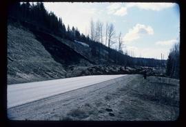
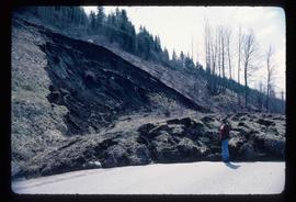
Image depicts an earth flow north of Stone Creek, B.C.
Image depicts an earth flow north of Stone Creek, B.C.
File consists of notes, clippings, and reproductions relating to early postal service in Prince George. Includes various clipped articles from the Prince George Citizen newspaper.
File consists of notes and typescript documents relating to early buildings in Prince George. Includes: "Bev C". typescript document, handwritten notes from Bev Christensen to Kent Sedgwick, and a "Location of Early Buildings" typescript document.
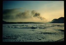
Image depicts Eaglet Lake in the winter taken from Giscome, B.C. Map coordinates 54°04'20.9"N 122°21'53.1"W
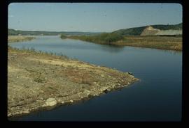
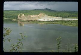
Image depicts the creek flowing into Eaglet Lake. A grey area of hill on the right side of the image appears to be the Giscome Quarry. Map coordinates 54°04'26.2"N 122°22'04.3"W
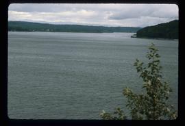
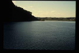
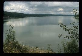
Image depicts an eastern view over Eaglet Lake.
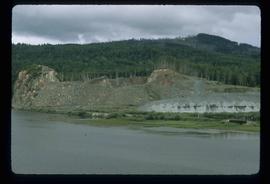
Image depicts the site of Giscome's first quarry, with Eaglet Lake located in the foreground.
Image depicts the site of Giscome's first quarry, with a train passing by and Eaglet Lake located in the foreground.
Image depicts a lake at an uncertain location, likely Eaglet Lake.
Image depicts Eaglet Lake, north-east of Prince George, B.C.
Item is a photocopied 1925 fire insurance plan depicting the Eagle Lake Spruce Mills Ltd. in Giscome, British Columbia published by the British Columbia Fire Underwriters Association.
Item is a photocopied plan depicting the Eagle Lake Sawmills Ltd. in Giscome, British Columbia with the plan of the sawmill and adjacent buildings, published by Transit Survey by L.C. Gunn and P.J. Klotz.
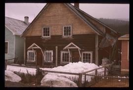
Image depicts a duplex in Wells, B.C.
The photograph depicts Dunster train station next to twinned train tracks. Annotation on slide states, "Dunster."
File consists notes and reproductions relating to the Dunster station and Mcbride station. Includes: "Re: Dunster Station - Grants, etc". typescript letter from Derek Trimmer, Heritage Advisory Committee, to Karen Craigue, Dunster Community Association (21 Apr. 1988) and "Proposal for the Acquisition, Restoration and use of the Dunster C.N.R. Station" typescript document prepared by Heritage Committee of Dunster Community Association (Feb. 1986). Also includes a photograph depicting the Dunster station (1980?).
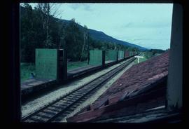
Image depicts the train tracks at the old Dunster Station in Dunster, B.C.
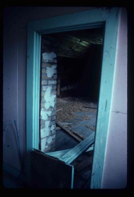
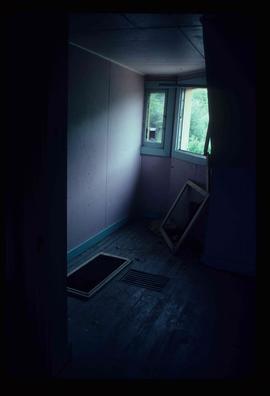
Image depicts the interior of the old Dunster Station in Dunster, B.C.
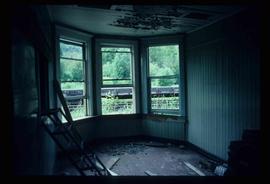
Image depicts the interior of the old Dunster Station in Dunster, B.C.
Image depicts the interior of the old Dunster Station in Dunster, B.C.
Image depicts the interior of the old Dunster Station in Dunster, B.C.
Image depicts the interior of the old Dunster Station in Dunster, B.C.
Image depicts the interior of the old Dunster Station in Dunster, B.C.
