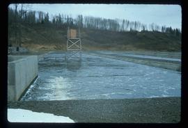
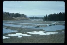
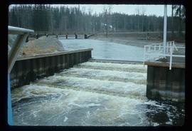
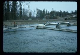
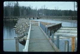
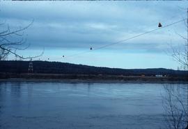
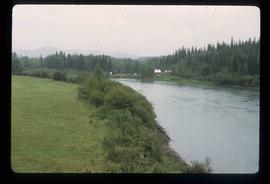
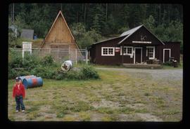
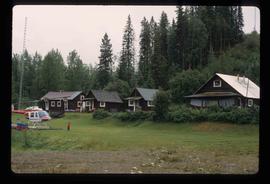
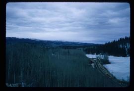
Image depicts the Fulton River.
Image depicts the Fulton River.
Image depicts the Fulton River.
Image depicts the Fulton River.
Image depicts the entrance of the Fulton River.
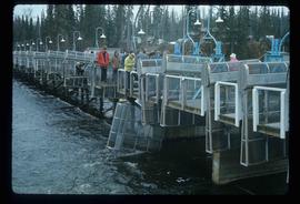
Image depicts a number of people standing at what appears to be a farm fishery [?] on the Fulton River.
File contains slides depicting subjects related to the Fur Trade.
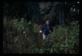
Image depicts a woman named "Gail" on a trail to Portage Lake.
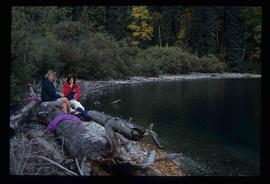
Image depicts two women sitting on a fallen tree on the shore of a lake, possibly Portage Lake; the woman in blue is "Gail," and the woman in red is Sue Sedgwick.
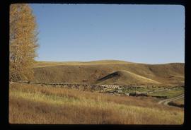
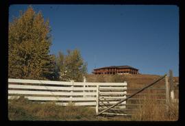
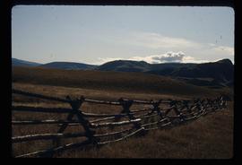
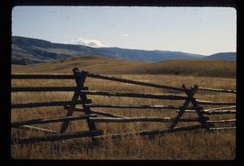
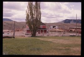
Image depicts Gang Ranch in the Upper Fraser Canyon.
Image depicts Gang Ranch in the Upper Fraser Canyon.
Image depicts Gang Ranch in the Upper Fraser Canyon.
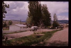
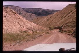
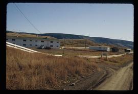
Image depicts a road near or on Gang Ranch in the Upper Fraser Canyon.
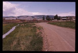
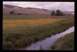
Image depicts a stream and field at Gang Ranch in the Upper Fraser Canyon.
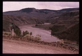
Image depicts the Fraser River, and a sign pointing towards Gang Ranch, in the Upper Fraser Canyon.
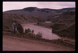
Image depicts the Fraser River, and a sign pointing towards Gang Ranch with an unknown individual hugging it, in the Upper Fraser Canyon.
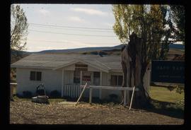
Image depicts the general store and post office on Gang Ranch.
Image depicts an area of hill at Gang Ranch.
Image depicts the house of the owner of Gang Ranch.
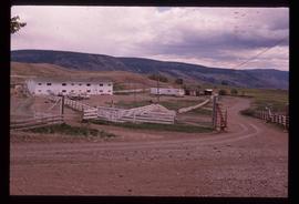
Image depicts a view of the property of the Gang Ranch.
Image depicts a fence and the property of the Gang Ranch.
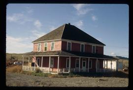
Image depicts the Gang Ranch House in the Upper Fraser Canyon.
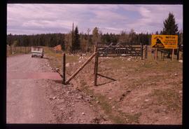
Image depicts Gang Ranch, with a sign warning that the area is patrolled by Range and Logging Patrols, in the Upper Fraser Canyon.
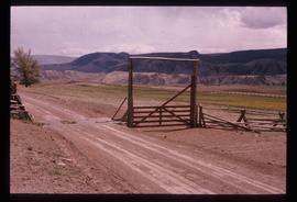
Image depicts the Upper Fraser Canyon from what appears to be the entrance to Gang Ranch.
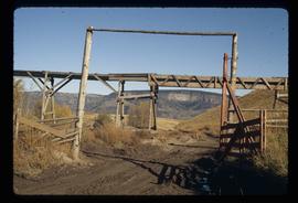
Image depicts a wooden structure at Gang Ranch. It is possibility an elevated water trough.
Image depicts the Gang Ranch house.
Image depicts the Gang Ranch office.
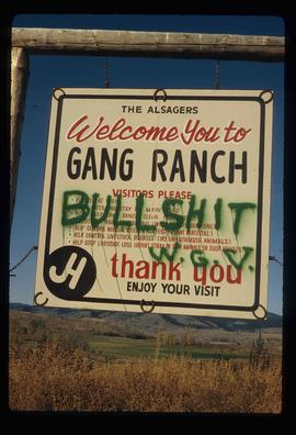
Image depicts the sign to Gang Ranch, located in the Upper Fraser Canyon, with graffiti on it.
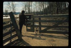
Image depicts an individual opening the gate at Nautley in Fort Fraser, B.C.
Image depicts a gauging station at Shelley, B.C.
File consists of notes and maps relating to the physical geography of the Central Interior and is background research for Geography Historical Geography of the Central Interior, a College of New Caledonia continuing studies course taught by Kent Sedgwick.
Subseries consists of materials collected by Kent Sedgwick for research on the geography and natural resources in Prince George and its region. Includes material on the natural resource industry, including the opening of the McArthur Sawmill, the W. Lamb and Sons Lumber Sawmill, and mining; photocopied aerial photographs of Prince George; the climate, temperatures, and flooding; and the geographical features of Prince George.
File contains slides depicting geomorhp diagrams.
File consists of a bound thesis titled "Geomorphology and Mass Budget of Peyto Glacier, Alberta" by John Kent Sedgwick submitted for his 1966 Master of Arts at McMaster University.
File contains slides depicting a hike near the Geraldine Lakes.
Image depicts the Germansen River, with the buildings of Germansen Landing visible on the other side.
Image depicts a child in the foreground, and the Germansen Landing trading post in the background in Germansen Landing, B.C.
Image depicts a helicopter in Germansen Landing, B.C.
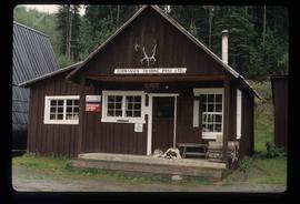
Image depicts the Germansen Landing Trading Post.
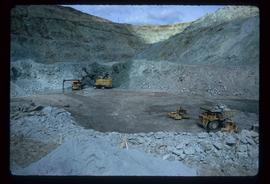
Image depicts the Gibraltar mine site north of Williams Lake, B.C.
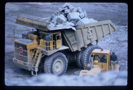
Image depicts an 80 tonne truck full of rocks at the Gibraltar mine site north of Williams Lake, B.C.
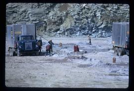
Image depicts a number of workers putting in blasting powder at the Gibraltar mine site north of Williams Lake, B.C.
Image depicts a loading truck at the Gibraltar mine site north of Williams Lake, B.C.
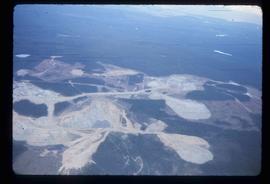
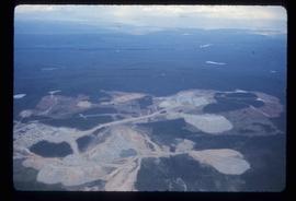
Image depicts an aerial view of the Gibraltar mine site's pits and waste dumps, north of Williams Lake, B.C.
Image depicts an aerial view of the Gibraltar mine site's pits and waste dumps, north of Williams Lake, B.C.
Image depicts the Ginter Property in Prince George, B.C.
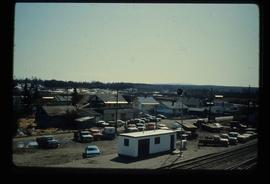
Image depicts the Giscome, B.C. town site with the Giscome railway station and the Giscome store in the center surrounded by vehicles. Map coordinates 54°04'18.5"N 122°21'57.7"W
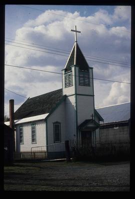
Image depicts a Catholic church in Giscome, B.C. Map coordinates 54°04'15.5"N 122°21'52.1"W
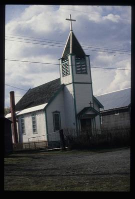
Image depicts a Catholic church in Giscome, B.C. Map coordinates 54°04'15.5"N 122°21'52.1"W
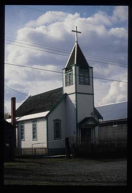
Image depicts a Catholic church in Giscome, B.C. Map coordinates 54°04'15.5"N 122°21'52.1"W
