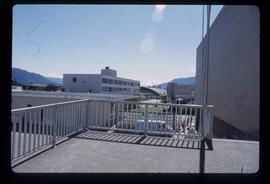
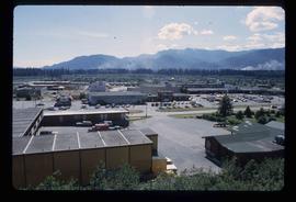
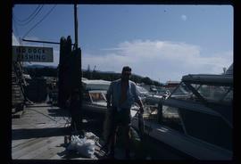
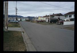
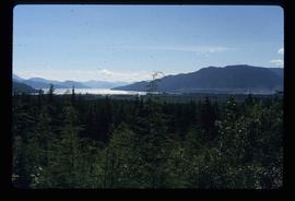
Print preview Close

Showing 2439 results

Archival description
2097 results with digital objects Show results with digital objects
Kitwanga - Meziadin
2012.13.1.068 · Subseries · [between 1978 and 1979]
Part of J. Kent Sedgwick fonds

File contains slides depicting places in and around the areas of Kitwanga and Meziadin Lake Provincial Park.

Kootenay Plains
2012.13.1.096 · Subseries · [between 1987 and 2004]
Part of J. Kent Sedgwick fonds

File contains slides depicting the Kootenay Plains and surrounding areas in Alberta.

Lake
2012.13.1.6.162 · Item · Nov. 1980
Part of J. Kent Sedgwick fonds

Image depicts a lake with numerous buildings along the shore. The location is uncertain.

Lake and Forests
2012.13.1.87.143 · Item · [between 1975 and 1995]
Part of J. Kent Sedgwick fonds

Image depicts an aerial view of a lake and large, forested areas. The location is uncertain.

Lake and Railway Tracks
2012.13.1.87.142 · Item · [between 1975 and 1995]
Part of J. Kent Sedgwick fonds

Image depicts an aerial view of a lake, and what appears to be a set of railway tracks running towards the mountains in the distance. The location is uncertain.

Lakelse Hot Spring
2012.13.1.67.05 · Item · 1979
Part of J. Kent Sedgwick fonds

Image depicts a large group of people enjoying the Mount Layton Hot springs in the Lakelse Lake Provincial Park north of Kitimat, B.C.

Land survey information
2012.13.2.02.25 · File · 1997-2006
Part of J. Kent Sedgwick fonds

File consists of notes, clippings, and reproductions relating to contemporary and historical land surveying in British Columbia, includes material on Hunter Joseph who surveyed Quesnel to Salmon River in 1874; F.P. Burden and the surveying of the Cariboo District; and Mr. J.D. Pemberton, the colonial surveyor in 1851. File primarily consists of Kent Sedgwick's handwritten notes on land surveying in British Columbia and printed search results for the College of New Caledonia and BC Archives on land surveying. Includes: "Owning land: what you should know" pamphlet published by The Canadian Council of Land Surveyors (2004) and "Survey Systems in BC" email chain between Kent Sedgwick and John Whittaker, a B.C. Land Surveyor, discussing past land survey systems and surveyed areas in British Columbia (6 Oct. 2009).

Landscape
2012.13.1.65.48 · Item · [1976?]
Part of J. Kent Sedgwick fonds

Image depicts a view of a mountainous landscape at an uncertain location.

Landscape
2012.13.1.65.53 · Item · [1976?]
Part of J. Kent Sedgwick fonds

Image depicts a view of the landscape in an uncertain location, though possibly somewhere near the Fraser River.