The item is a photograph depicting the plaque on the Alexander Mackenzie monument in Fort George Park. The plaque is titled "The Explorations of Sir Alexander Mackenzie." The plaque is written in both English and French. The annotation on the reverse side of the photograph states, "96 words."
The item is a photograph depicting the plaque on the Arrival of Steel monument at 772 1st Avenue, Prince George.
The item is a photograph depicting the plaque on the Arrival of Steel monument at 772 1st Avenue, Prince George.
The item is a photograph depicting the plaque on the Arrival of Steel monument at 772 1st Avenue, Prince George.
The item is a photograph depicting a plaque regarding floods in Prince George. It describes the floods of 1936 and 1972.
The item is a photograph depicting a plaque regarding floods in Prince George. It describes the floods of 1936 and 1972.
The item is a photograph depicting a plaque regarding floods in Prince George. It describes the floods of 1936 and 1972.
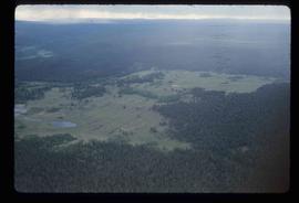
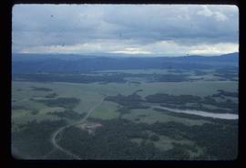
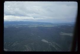
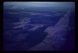
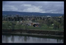
Image depicts an aerial view of a plateau near the Fraser River.
Image depicts an aerial view of a plateau near the Fraser River.
Image depicts an aerial view of a plateau near the Fraser River.
Image depicts a totem pole and a playground in what appears to be a residential area somewhere on Haida Gwaii, B.C.
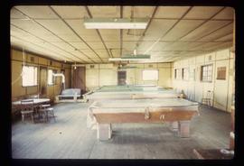
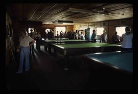
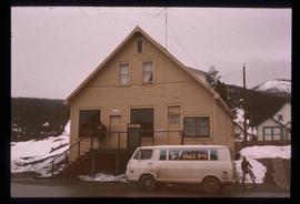
Image depicts an old pool hall somewhere in Wells, B.C.
Image depicts an old pool hall, crowded with unknown individuals, somewhere in Wells, B.C.
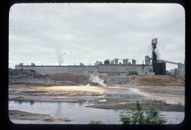
Image depicts a pulp mill in Port Edward, B.C.
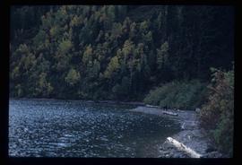
Image depicts the North end of Portage Lake.
Image depicts the canoe group portaging to Indianpoint Lake.
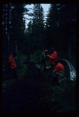
Image depicts the path taken during the portage to McCleary Lake.
Image depicts Portal Lake, located near the Yellowhead Pass on the British Columbia-Alberta border, west of Jasper, A.B.
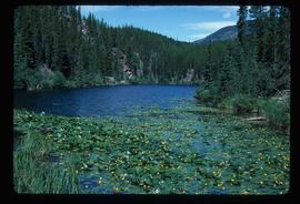
Image depicts numerous lily pads on the surface of Portal Lake, located near the Yellowhead Pass on the British Columbia-Alberta border, west of Jasper, A.B.
Photograph depicts a mayoral portrait of John Backhouse.
Photograph depicts a post office, presumably in Sinclair Mills.
Image depicts the post office in Wells, B.C.
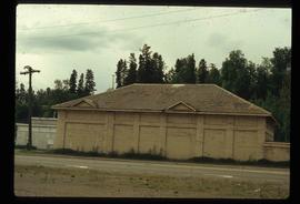
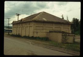
Image depicts a powerhouse in Prince George, B.C.
Image depicts a powerhouse in Prince George, B.C.
Image depicts power lines east of the pulp mills in Prince George, B.C.
The item is a photograph depicting a crowd from the BC Historical Federation outside listening to a presentation by Kent Sedgwick and Greg Halseth. The presentation is at one of the East Line communities.
The item is a photograph depicting a crowd from the BC Historical Federation outside listening to a presentation by Kent Sedgwick and Greg Halseth. The presentation is at one of the East Line communities.
Previous site of sawmill in Giscome, B.C. looking northwest. Map coordinates 54°04'19.7"N 122°22'04.7"W
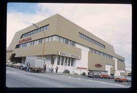
Image depicts the Pride O' the North shopping mall in Prince Rupert, B.C.
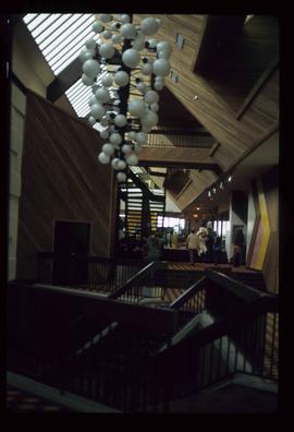
Image depicts the interior of the Pride O' the North shopping mall in Prince Rupert, B.C.
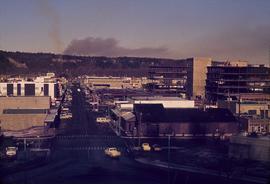
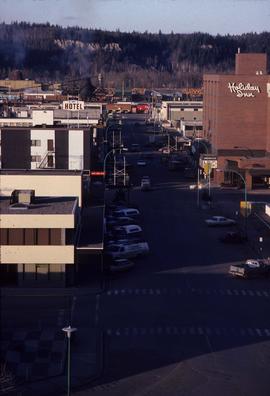
Image depicts a view of Prince George from City Hall looking northeast along George Street. Map coordinates 53°54'46.3"N 122°44'41.9"W
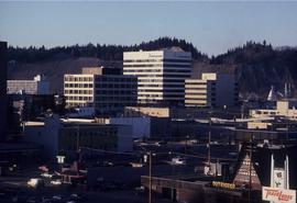
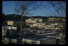
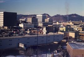
Image depicts downtown Prince George looking northwest. Map coordinates 53°54'48.7"N 122°44'45.6"W
Image depicts a view of Prince George from City Hall looking northeast along George Street. Map coordinates 53°54'46.3"N 122°44'41.9"W
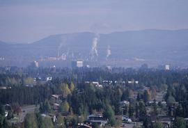
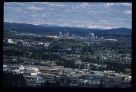
Image depicts Prince George, possibly with the Northwood Pulpmill in the background.
Image depicts Prince George, possibly with the Northwood Pulpmill in the background.
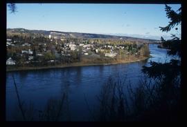
Image depicts a view of Prince George from an uncertain location.
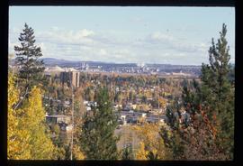
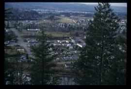
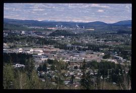
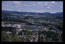
Image depicts a view of Prince George.
Image depicts a view of Prince George.
Image depicts a view of Prince George.
Image depicts Prince George, B.C.
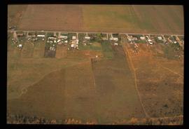
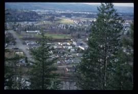
Image depicts an aerial view of what is possibly an outlying area of Prince George, B.C.
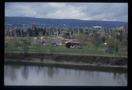
Image depicts a view of Prince George.
Image depicts downtown Prince George looking northwest across Dominion Street. Map coordinates 53°54'48.7"N 122°44'45.6"W
Image depicts Prince George, possibly with the Northwood Pulpmill in the background.
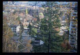
Image depicts Prince George with numerous trees obscuring most of the view.
Image depicts Prince George.
Image depicts a view of Prince George.
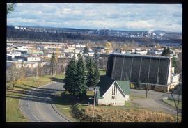
Image depicts Prince George from University Way, with the P.G.I pulp mill in the distance.
Image depicts Prince George from University Way, with the P.G.I. Pulp Mill in the distance.
Image depicts Prince George from University Way, with the P.G.I. Pulp Mill in the distance.
