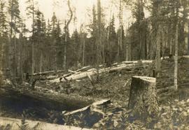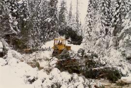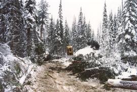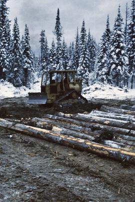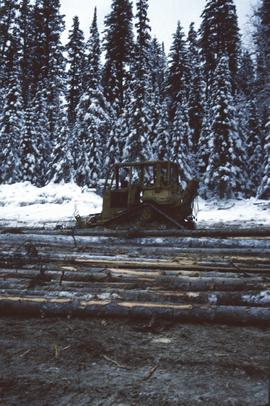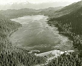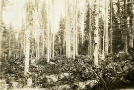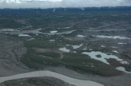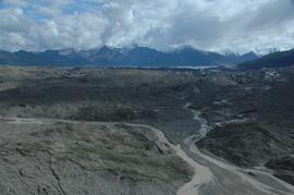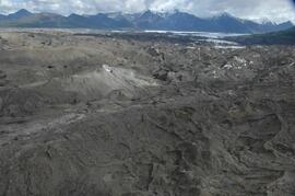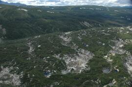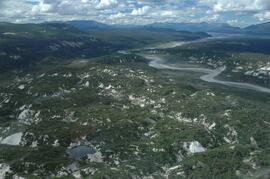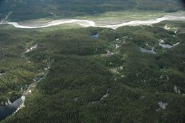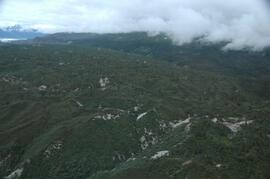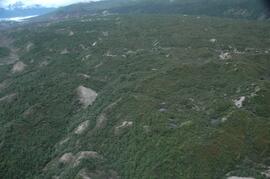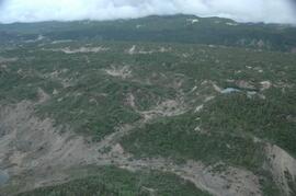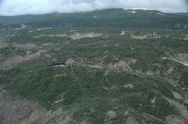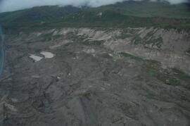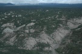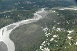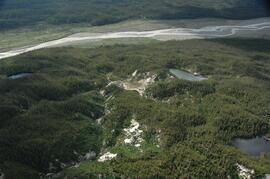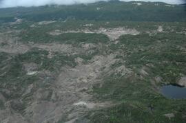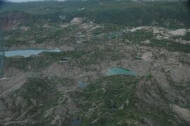
2004.8.1.76
·
Item
·
[ca. 1935]
Part of Alexander Manson mining collection
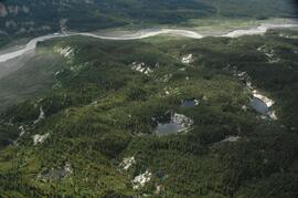
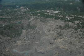
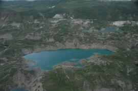
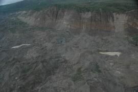
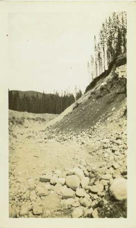
Photograph depicts a cut section of a hillside with a forested area visible in the background.