Showing 805 results
Archival description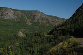
Lower Tuya River, facing upstream ~5 km above the Stikine River confluence
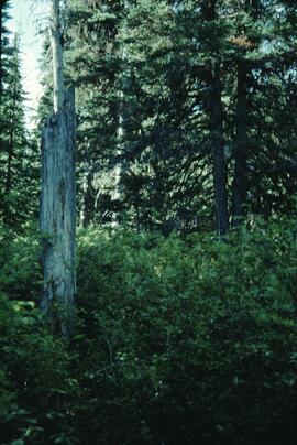
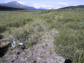
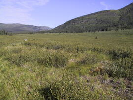
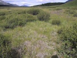
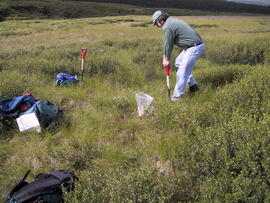
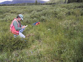
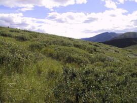
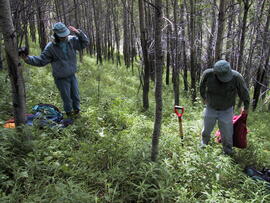
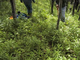
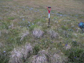
Lucille Mountain site view
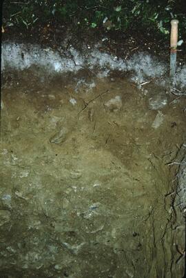
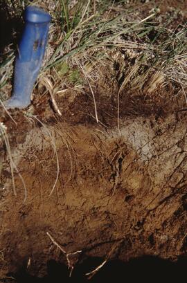
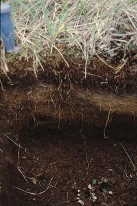
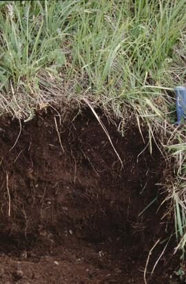
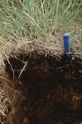
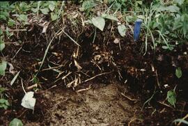
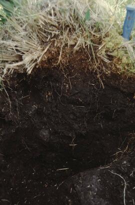
Lucille Mountain soil profile view
"Lucille Mountain soils"
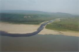
Mackenzie River
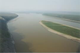
Mackenzie River south of Tulita
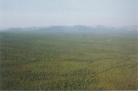
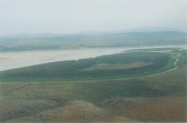
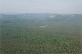
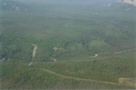
Mackenzie Valley - Franklin Mountains (1)
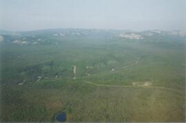
Mackenzie Valley - Franklin Mountains (2)
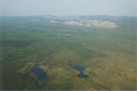
Mackenzie Valley - Franklin Mountains (3)
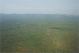
Mackenzie Valley - Franklin Mountains (4)
Mackenzie Valley - Franklin Mountains (5)
Mackenzie Valley - Franklin Mountains (6)
Mackenzie Valley - Franklin Mountains (7)
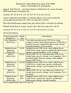
"Mackenzie valley field notes (Aug. 9-10, 2004)"
Memorandum regarding Lost Chicken placer mine manuscript and paleosol characterization data
Memorandum regarding Lost Chicken placer mine manuscript and paleosol characterization data

Middle Pleistocene basalt cliffs west of Camp 2
Middle Pleistocene basalt cliffs west of Camp 2
Middle Pleistocene basalt cliffs west of Camp 2

Middle Pleistocene basalt cliffs west of Camp 2

Middle Pleistocene basalt cliffs, facing downstream between Camp 1 and Camp 2

Middle Pleistocene basalt cliffs, facing downstream between Camp 1 and Camp 2
"Mineralogy of clay and sand fractions of soils developed from till, glaciofluvial and glaciolacustrine deposits in central interior British Columbia"

Ministry of Forests internal memorandum "Re: Evaluation of BaCl₂ method for soil cations"

MK Soils Project - 2001 - General Vegetation Descriptions

Mouth of Black Creek

Near Camp 1, facing west down the Yukon River

Near Camp 3

Near Camp 3

Near Camp 3

Near Camp 3
Near Camp 3
Nevis 1
Nevis 1
Nevis 1 profile
Nevis 2
Nevis 2
Nevis 2 profile
Nevis 3
Nevis 3
Nevis 3 profile
Nevis 4
Nevis 4
Nevis 4 profile
Nevis 5
Nevis 5
Nevis 5 profile
Nevis 6
Nevis 6
Nevis 6 profile
Nevis 6 site
New tephra at Site Y04-18 at Lost Chicken Mine (8)