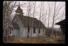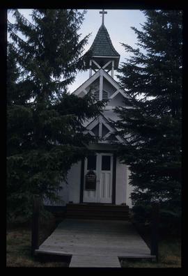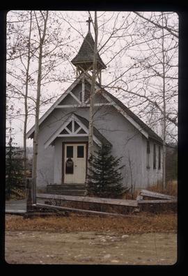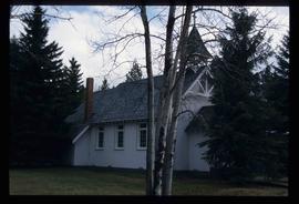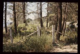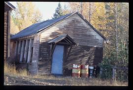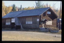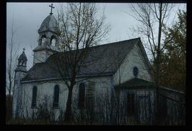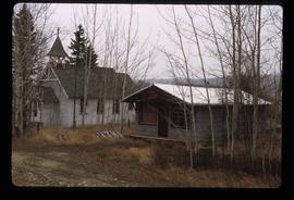
2012.13.1.20.07
·
Item
·
1980
Part of J. Kent Sedgwick fonds
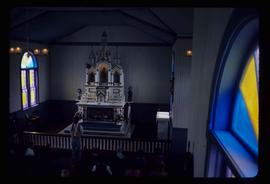
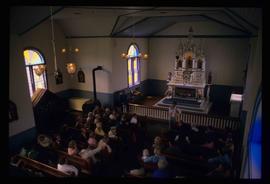
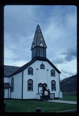
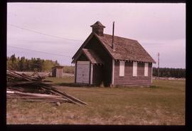
Image depicts the St. Mark's Anglican Church and a small house in Woodpecker, B.C.