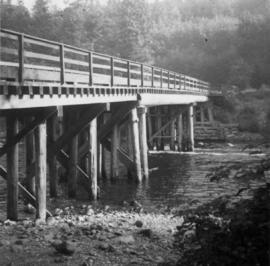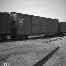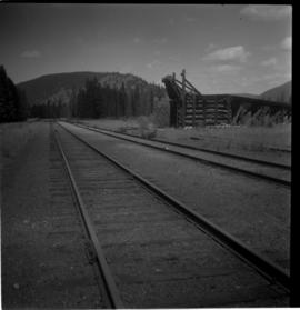
2013.6.36.1.025.35
·
Item
·
[15 June 1980]
Part of David Davies Railway Collection
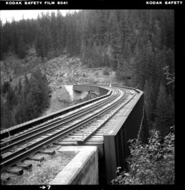
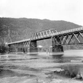
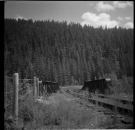
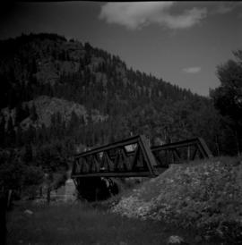
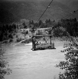
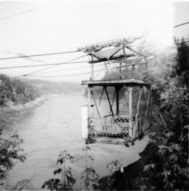
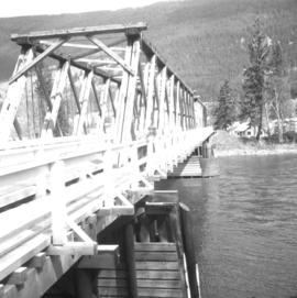
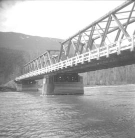
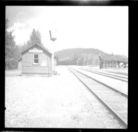
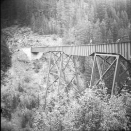
Photograph depicts the East Fork Canyon Bridge over Klo Creek, located at mile 86.5 on the CPR Kettle Valley Railway in Myra Canyon. The bridge is 365 ft. long, 148 ft. high, and has 5 through plate girder spans. The view is looking northeast.