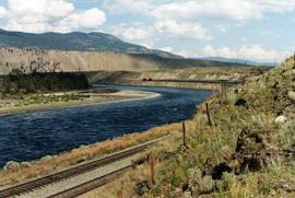
2013.6.36.3.08.21
·
Item
·
[after 1949]
Part of David Davies Railway Collection
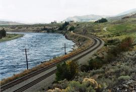
Postcard depicts "Twin Bridges in the Fraser Canyon. The CNR and CPR change sides at this point."