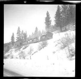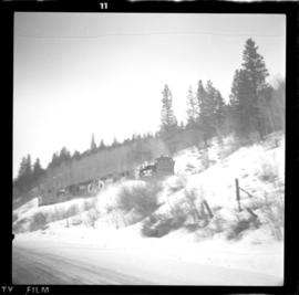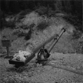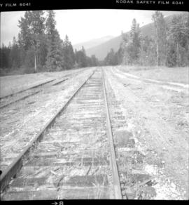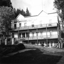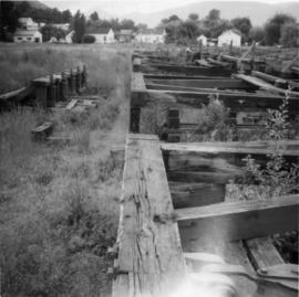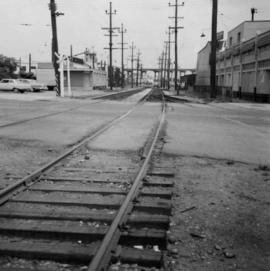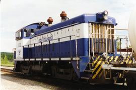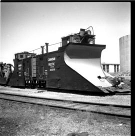
2013.6.36.1.022.07
·
Item
·
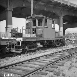
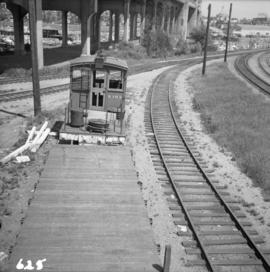
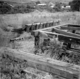
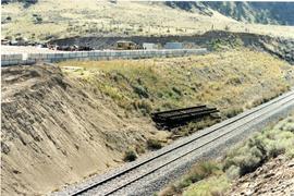
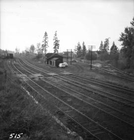
[17 July 1967]
Part of David Davies Railway Collection
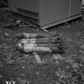
Photograph depicts two of the three snowplows in stationed din the CPR Penticton yard.