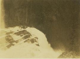
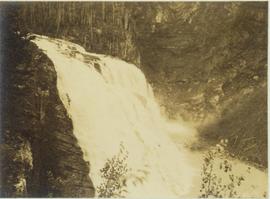
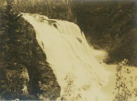
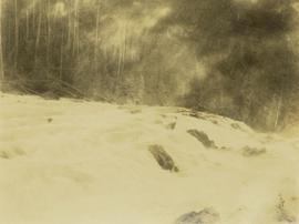
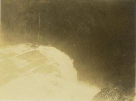
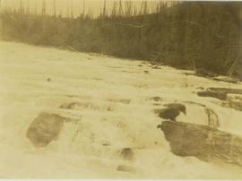
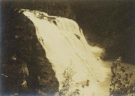
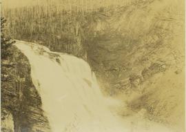
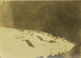
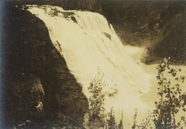
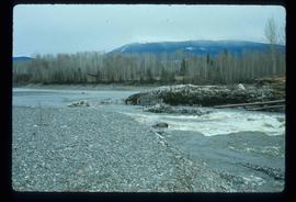
File consists of a 1994 copy of a report from 1952 entitled "Kemano River Survey - 1950: Biological Investigations". Authorship is attributed to an unknown Department of Fisheries biologist.
File consists predominately of memoranda between members of the Department of Fisheries and Oceans Kemano Task Force and outgoing correspondence from the Task Force members. The Kemano Completion Task Force was directed by R. Bell-Irving. Includes a draft outline of "Resource Activities Required for the Nechako Court Case and Possible Joint Technical Meetings" from F.C. Boyd. Also includes various records regarding the Kemano Task Force Report.
Image depicts the Kenney Dam near Cheslatta, B.C.
File consists of a copy of a Klohn-Crippen Consultants report prepared for the Nechako Environmental Enhancement Fund Management Committee entitled "Water Release Facility at Kenney Dam Updated Conceptual Layout and Cost Estimate".
Image depicts Kenny Dam, south of Francois Lake, and southwest of Vanderhoof, B.C.
Image depicts a stretch of land; the photo was taken from the top of Kenny Dam, south of Francois Lake.
Image depicts a boat on the Nechako Reservoir at Kenny Dam.
Image depicts a boat dock on the Nechako Reservoir at Kenny Dam.
Image depicts Kent Sedgwick speaking to a group of hikers.
Image depicts a man looking at some papers. It is most likely Kent Sedgwick.
Image depicts Kent Sedgwick sitting on the bank of a river. An old beehive burner is visible in the background. Located somewhere in or near Penny, B.C.
Image depicts Kent Sedgwick walking along the coastline of Haida Gwaii, B.C.
Image depicts Kent Sedgwick with a dog at his feet, somewhere in Mt. Robson Provincial Park.
Image depicts Kent Sedgwick crouching and holding a stick; the slug on the end is barely visible. Located somewhere on Haida Gwaii.
Image depicts Kent Sedgwick pointing out what is possibly the Robson Glacier in the background. Another, unknown individual is also present in the image.
Image depicts Kent Sedgwick smoking a pipe at camp, with two other unknown individuals nearby.
Image depicts Kent Sedgwick standing on a beach in Haida Gwaii, B.C. He is holding seaweed.
Image depicts Kent Sedgwick standing in a forest somewhere on Haida Gwaii.
Image depicts Kent Sedgwick sitting on a log on the shore of Haida Gwaii, B.C.
Image depicts Kent Sedgwick standing on the other side of a log bridge in a forest somewhere on Haida Gwaii.
Image depicts Kent Sedgwick sitting on a log with a dog on a beach somewhere in Haida Gwaii, B.C.
Image depicts Kent Sedgwick sitting with a dog on a log on the shore of Haida Gwaii, B.C.
Photograph depicts ore haul truck at dump in mine, driver visible, mountain range in background. Handwritten annotation on recto of photograph: "Kenworth - Model 802 dumping stripping waste at 6565 Elevation", on verso: "1961".
Image depicts a man fishing in the Kettle River.
Image depicts a view of the Okanagan Kettle Valley.
Image depicts a woman walking along the trail of the Kettle Valley Rail Road.
Image depicts the trail of the old Kettle Valley Rail Road.
Image depicts a man standing on the old Kettle Valley Rail Road.
Image depicts the old Kettle Valley Rail Road.
Image depicts several unknown individuals standing on the old Kettle Valley Rail Road.
Image depicts the Okanagan Kettle Valley, with the Kettle Rail Road faintly visible among the trees
Image depicts the trail of the old Kettle Valley Rail Road.
Image depicts a woman standing on the old Kettle Valley Rail Road.
Image depicts a view of Kettle Valley, with a bridge of the old Kettle Valley Rail Road visible on a slope.
Image depicts a woman walking along a trail somewhere in Kettle Valley, B.C.
Image depicts a van on a narrow road, likely the Kettle Valley Trail.
Photograph depicts the edge of Kinuseo Falls, also known as Kinoosao Falls, running over a rocky shoreline with burnt trees in the background.
Photograph depicts a close perspective of a waterfall falling down a rocky cliff side. In the background a burnt forest environment is visible. The waterfall is know as both Kinuseo Falls and Kinoosao Falls.
Photograph depicts the top of Kinuseo Falls, also known as Kinoosao Falls, running over a rocky shoreline with burnt trees in the background.
Photograph depicts a view of the rocky river leading to Kinuseo Falls, also known as Kinoosao Falls, with burnt trees visible in the background.
Photograph depicts a close perspective of a waterfall falling down a rocky cliff side. In the background a burnt forest environment is visible. The waterfall is know as both Kinuseo Falls and Kinoosao Falls.
Photograph depicts the top of Kinuseo Fall also known as Kinoosao Falls. In the background a barren forest is visible.
Photograph depicts a close perspective of a waterfall falling down a rocky cliff side. In the background a burnt forest environment is visible. The waterfall is know as both Kinuseo Falls and Kinoosao Falls.
Image depicts the mouth of the Kispiox River.