2021.06.024
·
Item
·
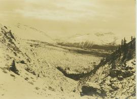
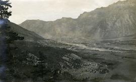
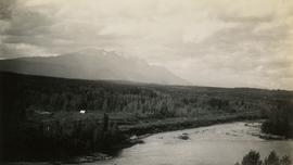
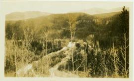
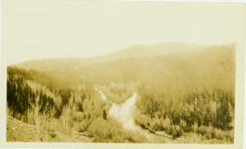
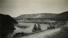
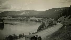
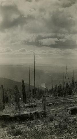
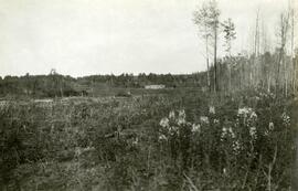
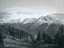
Sept. 1930
Part of Emil Bronlund Photograph Collection
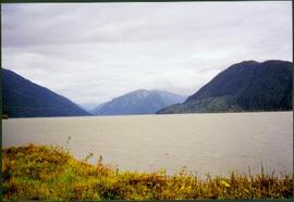
Photograph depicts a snowy mountain range to the south of Wedge Creek with a forested area at the base.