Showing 771 results
Archival description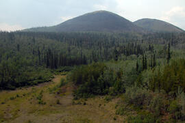
Site Y09-23 aerial view

Site Y09-23 lapilli
Site Y09-23 pond margin
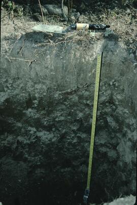
Site Y09-23 profile
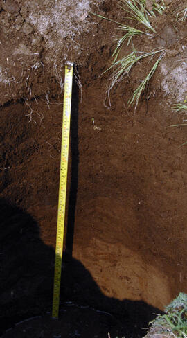
Skulow Lake soil profile view
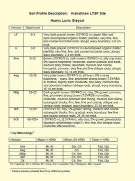
"Soil Profile Description: Kiskatinaw LTSP Site"
"Some long term effects of scarification on soil properties and site productivity"
"Some long term effects of scarification on soil properties and site productivity"

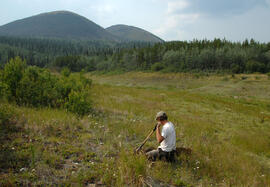
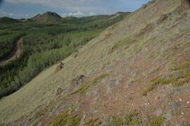
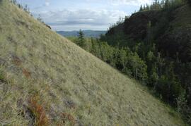
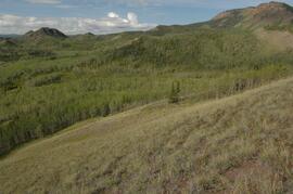
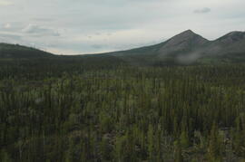
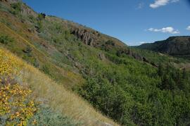
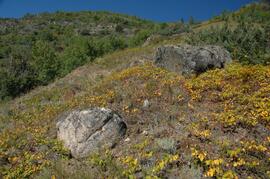
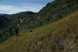
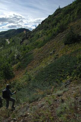
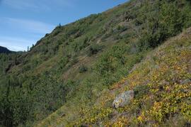
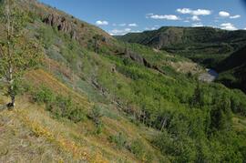
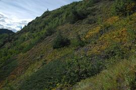
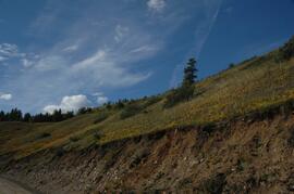
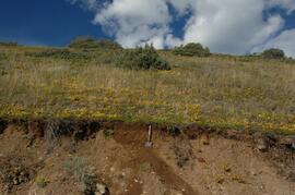
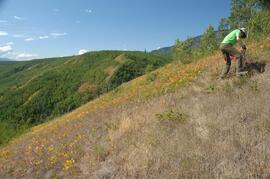
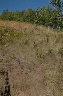
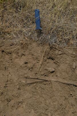
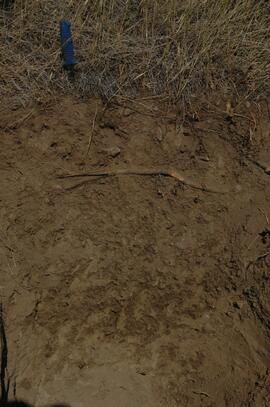
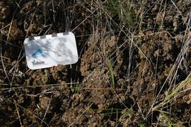
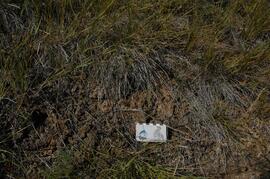
South facing grasslands, ~1 km on Mt Nansen Road
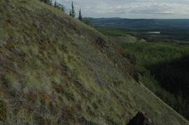
South facing grasslands, ~1 km on Mt Nansen Road
South facing grasslands, ~1 km on Mt Nansen Road
South facing grasslands, ~1 km on Mt Nansen Road
South facing grasslands, ~1 km on Mt Nansen Road
South facing grasslands, ~1 km on Mt Nansen Road
South facing grasslands, ~1 km on Mt Nansen Road
South facing grasslands, ~1 km on Mt Nansen Road
South facing grasslands, ~1 km on Mt Nansen Road
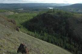
South facing grasslands, ~1 km on Mt Nansen Road
South facing grasslands, ~1 km on Mt Nansen Road

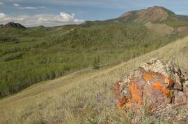
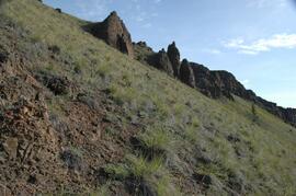
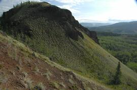
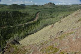
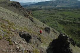
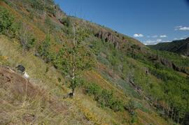
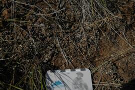
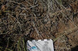
South flank of Volcano Mountain

South flank of Volcano Mountain
South flank of Volcano Mountain
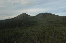
South flank of Volcano Mountain
South flank of Volcano Mountain
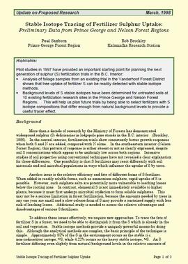
"Stable Isotope Tracing of Fertilizer Sulphur Uptake: Preliminary Data from Prince George and Nelson Forest Regions"
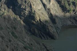
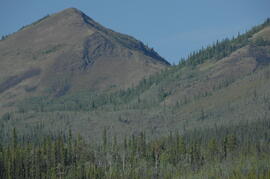
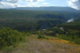
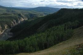
Stikine canyon
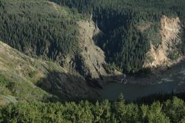
Stikine canyon
Stikine River valley site BC07-04
Stikine River valley site BC07-04
Stikine River valley site BC07-04
Stikine River valley site BC07-04
Stikine River valley site BC07-04
Stikine River valley site BC07-04
Stikine River valley site BC07-04
Stikine River valley site BC07-04
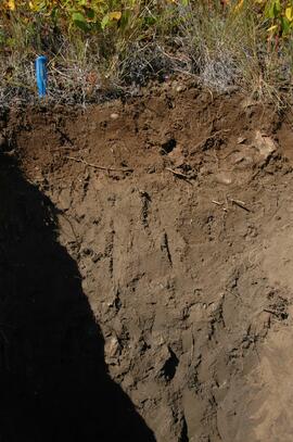
Stikine River valley site BC07-05
Stikine River valley site BC07-05
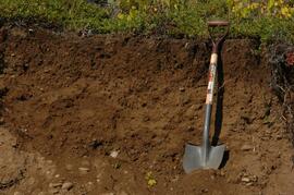
Stikine River valley site BC08-06
Stikine River valley site BC08-06

Stikine River valley site BC08-06
Stikine River valley soil at site BC07-04
Stikine River valley soil at site BC07-04
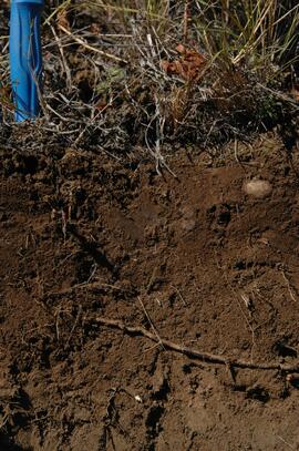
Stikine River valley soil at site BC07-05
Stikine River valley soil at site BC08-06
Stikine River valley soil at site BC08-06
Stikine River valley soil at site BC08-06
Stikine River valley soil crust at site BC07-04
Stikine River valley soil crust at site BC07-04
Stikine River valley soil crust at site BC07-04
Stikine River valley soil crust at site BC07-04
Stikine River, facing downstream ~8 km northeast of the Tuya River confluence