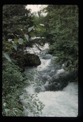
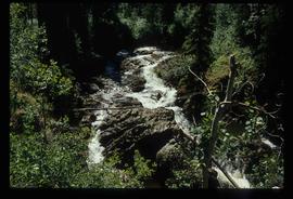
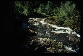
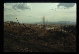
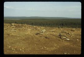
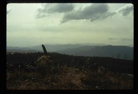
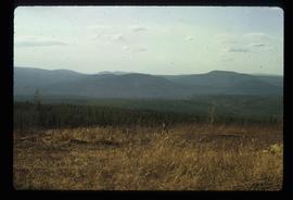
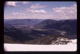
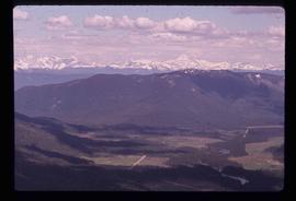
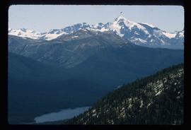
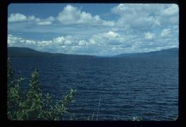
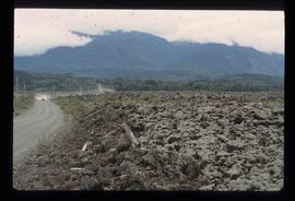
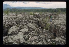
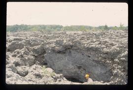
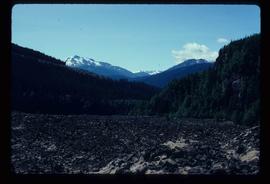
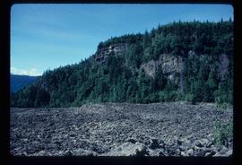
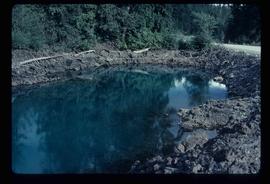
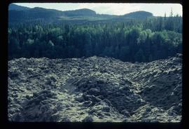
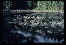
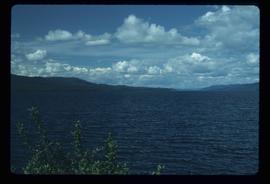
Image depicts a west-looking view of Trembleur Lake.
Image depicts a snow-covered cabin and a mountain in the distance. It is located somewhere near Birken, B.C.
Image depicts a mountain in the distance. It is located somewhere near Birken, B.C.
Image depicts numerous skiers at the cabin located at Troll Lake on Tabor Mountain in Prince George, B.C.
Image depicts truncated spurs somewhere near McBride, B.C.
Image depicts the Tseax Lava Flow.
Image depicts an unknown individual standing on the Tseax Lava Flow.
Image depicts Kent Sedgwick standing in a drainage tunnel of the Tseax Lava Flow.
Image depicts the Tseax Lava Flow, with mountains in the distance.
Image depicts old lava cliffs and the Tseax Lava Flow in Nisga'a Provincial Park, near New Aiyansh, B.C.
Image depicts what appears to be a small pond near the Tseax lava flow.
Image depicts the Tseax Lava Flow. The slide is labelled "pressure ridges."
Image depicts a shallow river running over and through the Tseax lava flow.
Image depicts a sign at the Tseax Lava Flow asking people to not remove lava from the site.
Image depicts a stream running through the Tseax lava flow.
Image depicts the Tseax Lava Flow, looking up valley.
Image depicts the Tseax River.
Image depicts the Tsek'enhe cemetery at McLeod Lake.
Image depicts the Tsilcoh Falls, north of Fort St. James and somewhere near Pinchi Lake Road.
Image depicts two unknown individuals at the Tsilcoh Falls, north of Fort St. James and somewhere near Pinchi Lake Road.
File contains slides depicting Tumbler Ridge.
Image depicts a view of the scenery in Tumbler Ridge, B.C.
Image depicts a view of Tumuch Lake Valley, south-east of Raven Peak.
Image depicts the White Pass Train entering a tunnel in the mountain side.
Image depicts a small section of Turner Lake, with what is most likely Glacier Mountain in the distance; they are located in South Tweedsmuir Park, B.C.
File contains slides depicting Turner Lake and other areas of the South Tweedsmuir Provincial Park.
File consists of the "Tweedsmuir Master Plan" prepared by the Province of British Columbia.
File consists of a book and typescript correspondences. Includes: "Tweedsmuir Provincial Park Background Document" by the Province of British Columbia (1986).
Image depicts two campers at an uncertain location, possibly somewhere near Meldrum Creek, B.C.
Image depicts two dogs and a person walking on a path through the woods somewhere in Carp Lake Provincial Park.
Image depicts two men on the hiking trail near Mt. Robson.
Image depicts two unknown individuals standing by a glacier somewhere in Mt. Robson Provincial Park.
Image depicts two unidentified individuals speaking to each other in the doorway of what appears to be a mobile home. The location is uncertain.
Image depicts two unknown individuals standing near a waterfall somewhere near Mt. Robson.
Image depicts mountains in the background and two unidentified individuals standing on a dirt road in the bottom left corner. The location is uncertain, likely Longworth, B.C.