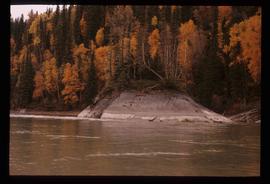
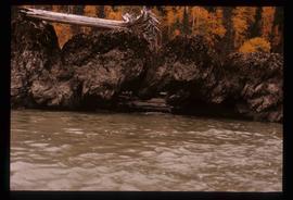
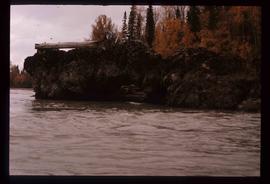
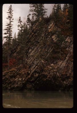
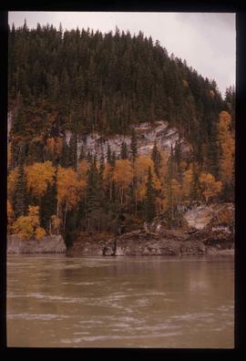
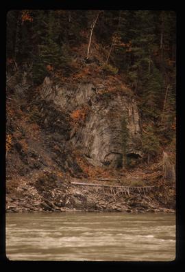
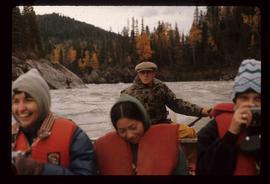
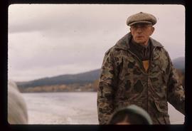
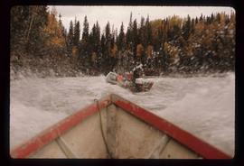
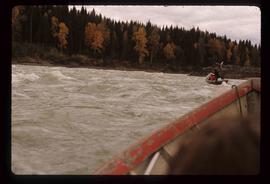
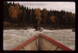
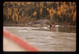
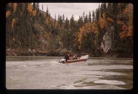
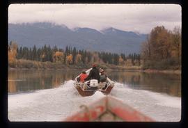
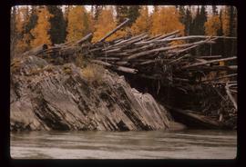
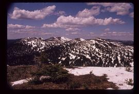
Image depicts a view of the Sugarbowl Grizzly Den Protected Area from Raven Peak. The slide itself is labelled "towards cabin."
Image depicts the Fraser River from the vantage point of the cutbanks in Prince George, B.C.
Image depicts a view of Prince George from Carney Hill.
File consists of notes and reproductions relating to the local history project done by June Chamberland and her book "From Broadaxe to Clay Chinking: Stories about the Pioneers in and around the Prince George area" winning the Jeanne Clarke history award. The book includes a chapter "Introduction to Early Agricultural Settlement in the Prince George Area" by Kent Sedgwick. Includes a CD titled "June photos" containing photographs depicting interviewees of the project (2003).
The item is a photograph depicting the Friendship Centre building at 1600 3 Avenue Prince George. The building's colour is blue and white.
The item is a photograph of the Freemason Building at 480 Vancouver Street, Prince George. The photograph is taken from the corner of Vancouver Street and 4th Avenue.
This item is a photograph of the Freemason building at 480 Vancouver Street, Prince George.
File consists of notes and reproductions relating to Fred Burden, a surveyor in British Columbia who surveyed tar sands in the Fort McMurray region and returned to Prince George in 1921 to complete a topographical survey of Prince George.
File consists of notes and reproductions relating to the Fraserview Elementary School.
File consists of notes, clippings, and reproductions relating to the Fraser-Nechako Historical Society. Includes: "Fraser-Nechako Historical Society" handwritten membership list (11 Jan. 1989); "RE: An Historical Society be formed that answers to the Upper Fraser Region of the Fraser Basin Council" typed note and newsletter from Audrey L'Heureux (21 Aug. 2006); and "Nechako-Fraser Historical Society terms of reference" typed document (18 June 2002).
Image depicts a view of the Fraser-Nechako confluence from the Prince George cutbanks.
File consists of clippings, notes, and reproductions relating to the Fraser-Fort George Regional Museum in Prince George. Includes: "The Exploration Place" letter to Kent Sedgwick from Tracy Calogheros and the Exploration Place (19 Mar. 2008); "Annual Report" booklet from the Fraser-Fort George Museum Society (2008); and "Hunt starts for money, artifacts for museum" clipped article from the Prince George Citizen newspaper (15 June 1976).
File consists of notes, clippings, and reproductions relating to the Fraser-Fort George Museum Society Museum Publications committee consisting of Kent Sedgwick, Keith Gordon, and Denise McCallum and publishing local histories through the museum. The file primarily consists of material regarding the re-publication of "History of Prince George" by Rev. F.E. Runnalls. Includes photographs titled "Runnall's Book" and depicting historical Prince George and Rev. Runnalls.
Image depicts the small town of Fraser, B.C. Located on the Klondike Highway.
Image depicts the Fraser Valley, looking north, possibly from Marguerite, B.C.
The item is a photographic reprint originally taken in 1936. The photograph depicts the Fraser River flood in Prince George in June 1936. Buildings are shown among the raised flood waters. Annotations on the reverse side of the photograph state, "983.11.3 slide 6.3 x 9.5" crossed out is "6 1/2 x 10."
The item is a photographic reprint originally taken in 1936. The photograph depicts the Fraser River flood in Prince George in June 1936. A man on a raft is portrayed near a woman on a bridge with water coming up to the bottom of the bridge. Annotations on the reverse side of the photograph state, "983.16.5 slide 5.7 x 9.5" and crossed out is "6 x 10."
File consists of aeriel photographs depicting the Fraser River Big Bend, where the Fraser River changes direction from westbound to southbound at its "Big Bend" near the Huble Homestead Historic Site, 45 km north of Prince George, British Columbia.
File consists of aerial photographs depicting the Fraser River Big Bend, where the Fraser River changes direction from westbound to southbound at its "Big Bend" near the Huble Homestead Historic Site, 45 km north of Prince George, British Columbia.
Image depicts a very small island in the middle of the Fraser River in the Grand Canyon, B.C.
Image depicts a formation of rocks in the Fraser River, with a dead tree stuck on top of them.
Image depicts a rocky section of the bank of the Fraser River in the Grand Canyon, B.C.
Image depicts the bank of the Fraser River in the Grand Canyon, B.C.
Image depicts Ray Mueller steering a boat on the Fraser River in the Grand Canyon, B.C.
Image depicts a rail road bridge over the Fraser River, possibly somewhere in the Lillooet area.
Image depicts a view of the Fraser River, as well as a road and railroad, near the Moran Canyon.
Image depicts the Fraser River near Gang Ranch in the Upper Fraser Canyon.
Image depicts numerous logs piled up on rocks in the Fraser River.
Image depicts a view of the Fraser River in Lillooet, B.C.
Image depicts the Fraser River from the Moran railway point in the Lillooet area.
Image depicts a cliff side on the bank of the Fraser River in the Grand Canyon, B.C.
Image depicts a bridge over the Fraser River in the Upper Fraser Canyon; possibly near Gang Ranch.
Image depicts a group of people in boats on the Fraser River in the Grand Canyon, B.C.
Image depicts three unknown individuals in a boat on the Fraser River; the man steering the boat is Ray Mueller.
Image depicts a group of people in boats on the Fraser River in the Grand Canyon, B.C.
Image depicts a beaver dam on the Fraser River in the Grand Canyon, B.C.