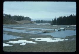
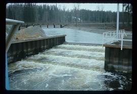
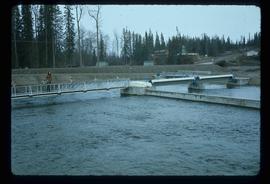
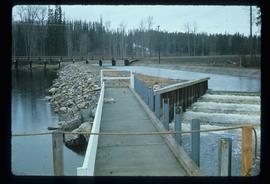
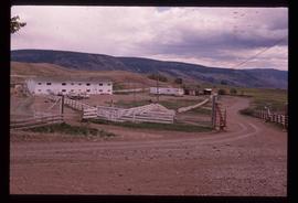
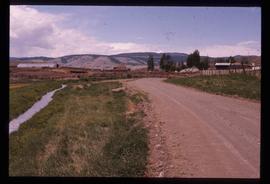
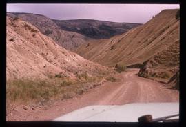
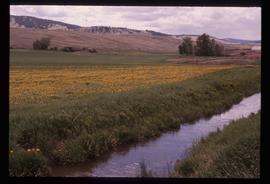
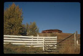
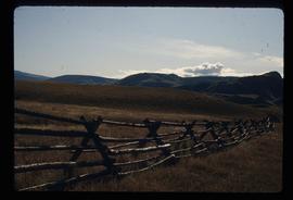
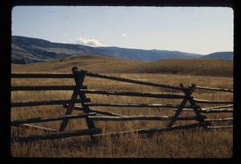
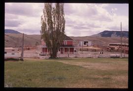
Image depicts the Fulton River.
Image depicts the Fulton River.
Image depicts the Fulton River.
Image depicts the entrance of the Fulton River.
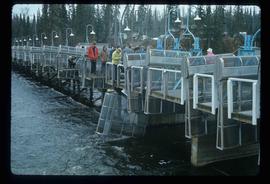
Image depicts a number of people standing at what appears to be a farm fishery [?] on the Fulton River.
File contains slides depicting subjects related to the Fur Trade.
Subseries consists of materials collected and created by Kent Sedgwick for research regarding fur trade history in British Columbia. Includes histories of the Hudson's Bay Company; historic trails utilized for fur trade; fur trade by the North West Company in the interior of British Columbia; Simon Fraser, a Canadian explorer and fur trader with the North West Company; and David Thompson, a surveyor, cartographer, and fur trader with the Hudson's Bay Company.
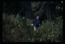
Image depicts a woman named "Gail" on a trail to Portage Lake.
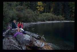
Image depicts two women sitting on a fallen tree on the shore of a lake, possibly Portage Lake; the woman in blue is "Gail," and the woman in red is Sue Sedgwick.
Image depicts Gang Ranch in the Upper Fraser Canyon.
Image depicts Gang Ranch in the Upper Fraser Canyon.
Image depicts Gang Ranch in the Upper Fraser Canyon.
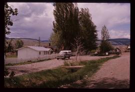
Image depicts a road near or on Gang Ranch in the Upper Fraser Canyon.
Image depicts a stream and field at Gang Ranch in the Upper Fraser Canyon.
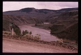
Image depicts the Fraser River, and a sign pointing towards Gang Ranch, in the Upper Fraser Canyon.
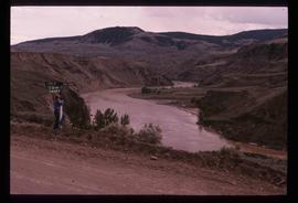
Image depicts the Fraser River, and a sign pointing towards Gang Ranch with an unknown individual hugging it, in the Upper Fraser Canyon.
Image depicts the general store and post office on Gang Ranch.
Image depicts an area of hill at Gang Ranch.
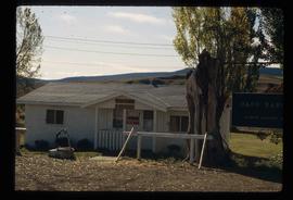
Image depicts the house of the owner of Gang Ranch.
Image depicts a view of the property of the Gang Ranch.
Image depicts a fence and the property of the Gang Ranch.
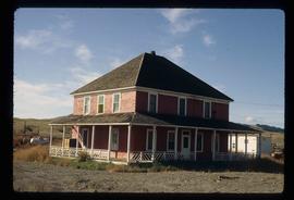
Image depicts the Gang Ranch House in the Upper Fraser Canyon.
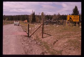
Image depicts Gang Ranch, with a sign warning that the area is patrolled by Range and Logging Patrols, in the Upper Fraser Canyon.
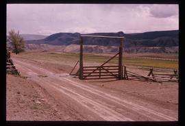
Image depicts the Upper Fraser Canyon from what appears to be the entrance to Gang Ranch.
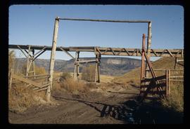
Image depicts a wooden structure at Gang Ranch. It is possibility an elevated water trough.
Image depicts the Gang Ranch house.
Image depicts the Gang Ranch office.
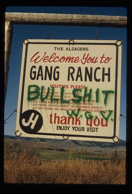
Image depicts the sign to Gang Ranch, located in the Upper Fraser Canyon, with graffiti on it.
The item is a black and white photograph depicting a garage and covered storage area on a farm.
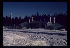
Image depicts a gas compression station located at Summit Lake, north of Prince George, B.C.
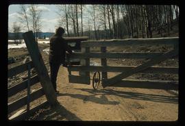
Image depicts an individual opening the gate at Nautley in Fort Fraser, B.C.
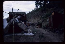
Image depicts a gathering of people for an uncertain event at an uncertain location, possibly in Lillooet, B.C. A few tents are set up in the picture.
The item is a photograph depicting a gauging station at Isle Pierre. Annotation on reverse side of photograph states, "Isle Pierre gauging station WSC."
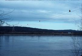
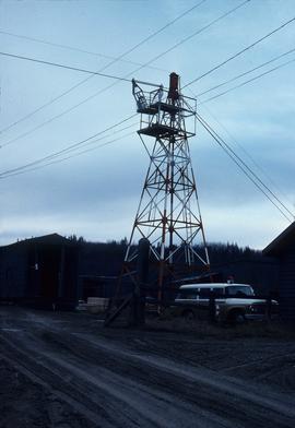
Image depicts a gauging station at Shelley, B.C.
Image depicts a gauging tower at Shelley, B.C.
The item is a photograph and negative of a survey map of the Prince George townsite. Areas highlighted are in the Nechako and Fraser River area, including Connaught Park.
The item is a photograph and negative of a survey map of the Prince George townsite. Areas highlighted are in the Nechako and Fraser River area, including Connaught Park.
The item is a photograph and negative of a survey map of the Prince George townsite. Areas highlighted are in the Nechako and Fraser River area, including Connaught Park.
The item is a photograph and negative of a survey map of the Prince George townsite. Areas highlighted are in the Nechako and Fraser River area, including Connaught Park.
The item is a photograph and negative of a survey map of the Prince George townsite. Areas highlighted are in the Nechako and Fraser River area, including Connaught Park.
The item is a photograph of the Generator Cabaret building on 3rd Avenue in Prince George.
File consists of notes and maps relating to the physical geography of the Central Interior and is background research for Geography Historical Geography of the Central Interior, a College of New Caledonia continuing studies course taught by Kent Sedgwick.
File consists of drafts of advertisements for GEOG 163 Historical Geography of the Central Interior, a College of New Caledonia continuing studies course taught by Kent Sedgwick.
File consists of notes and course outlines for GEOG 163 Historical Geography of the Central Interior, a College of New Caledonia continuing studies course taught by Kent Sedgwick.
File consists of handwritten reference material for GEOG 163 Historical Geography of the Central Interior, a College of New Caledonia continuing studies course taught by Kent Sedgwick.
File consists of notes and reproductions relating to the introductory class GEOG 163 Local Historical Geography, a College of New Caledonia continuing studies course taught by Kent Sedgwick.
Subseries consists of materials collected by Kent Sedgwick for research on the geography and natural resources in Prince George and its region. Includes material on the natural resource industry, including the opening of the McArthur Sawmill, the W. Lamb and Sons Lumber Sawmill, and mining; photocopied aerial photographs of Prince George; the climate, temperatures, and flooding; and the geographical features of Prince George.
File contains slides depicting geomorhp diagrams.
File consists of a bound thesis titled "Geomorphology and Mass Budget of Peyto Glacier, Alberta" by John Kent Sedgwick submitted for his 1966 Master of Arts at McMaster University.
File consists of notes and reproductions relating to George Mercer Dawson (August 1, 1849 - March 2, 1901), a Canadian geologist and surveyor with the Geological Survey of Canada.
