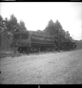
2013.6.36.1.059.25
·
Item
·
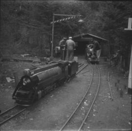
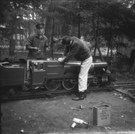
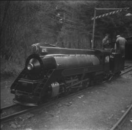
4 Apr. 1969
Part of David Davies Railway Collection
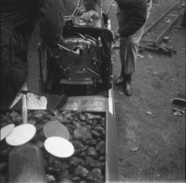
Photograph depicts the bunker and cab view of the Royal Scot that was built in Britain in 1947 (or before). It was coal fired and was being prepared for its first run of the year.