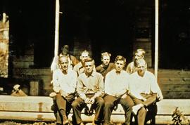
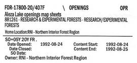
2007.1.45.13
·
File
·
1998
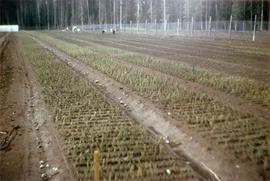
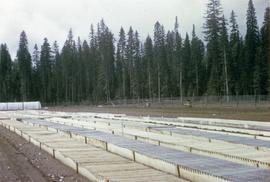
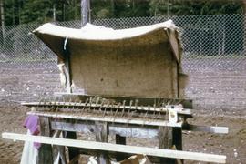
Part of Aleza Lake Research Forest fonds
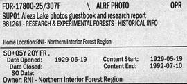
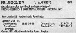
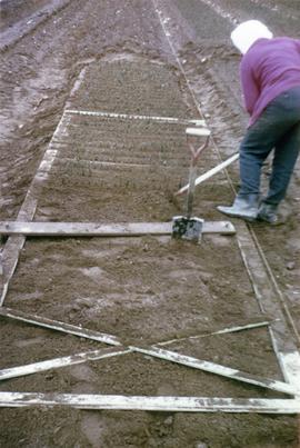
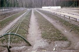
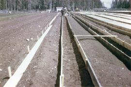
File contains information, including diagrams, measurement charts, and a map, for experimental plot 112.