2000.19.2.138
·
Item
·
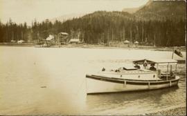
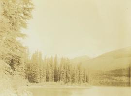
29 Aug. 1927-26 Sept. 1927
Part of Prentiss Gray Collection
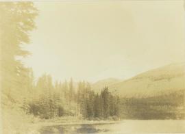
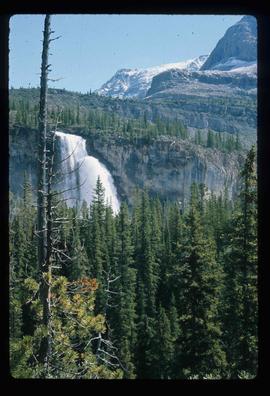
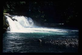
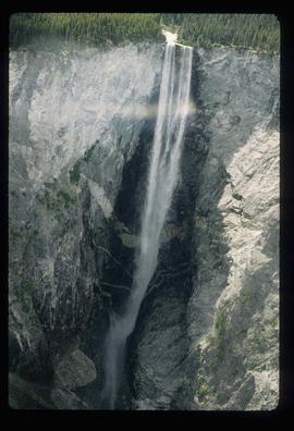
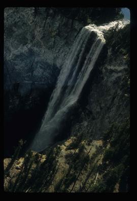
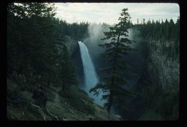
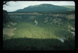
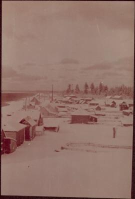
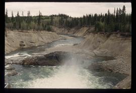
Photograph depicts Wapiti lake surrounded by an unidentified mountain range and a forested shoreline.