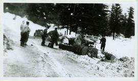
2014.2.1.15
·
Item
·
[before 1941]
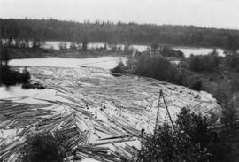
Part of Cornel Neronovitch Logging and Sawmills Collection
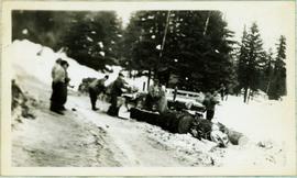
Photograph depicts a Fraser River backchannel with logs at Peden Hill sawmill. The jackladder to the sawmill is visible on the bottom right.