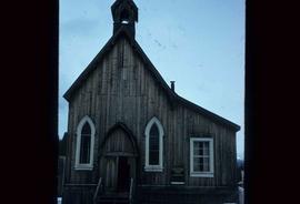
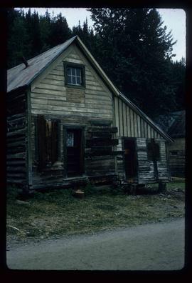
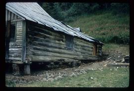
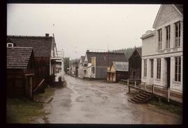
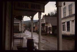
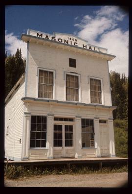
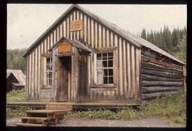
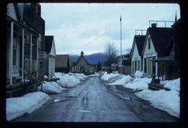
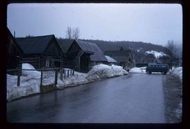
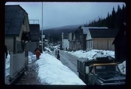
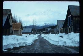
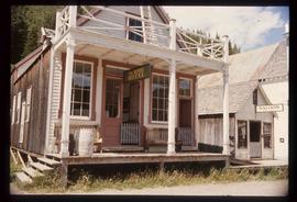
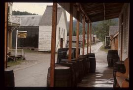
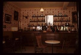
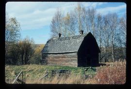
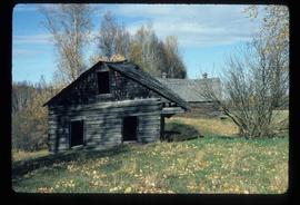
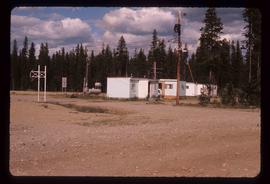
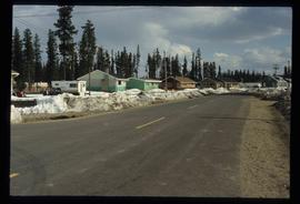
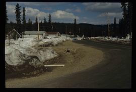
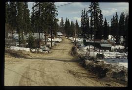
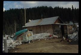
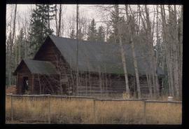
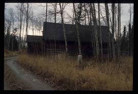
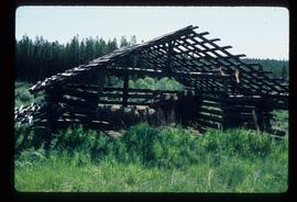
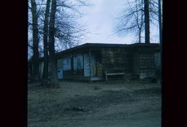
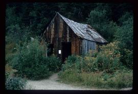
Image depicts an unrestored chinese shack in Barkerville, B.C.
Image depicts an old Anglican Church in Barkerville, B.C.
Image depicts a freight wagon in Barkerville.
Image depicts a snow-covered hill in Barkerville, B.C.
Image depicts the Hudson's Bay Company in Barkerville, B.C.
Image depicts an unrestored log house in Barkerville, B.C.
Image depicts an unrestored, collapsing log-house in Barkerville, B.C.
Image depicts the main street of Barkerville, B.C.
Image depicts the Masonic Hall in Barkerville, B.C.
Image depicts a Sporting House in Barkerville.
Image depicts a street in Barkerville, B.C.
Image depicts the House Hotel in Barkerville, B.C.
Image depicts the Barkerville theatre from the porch of the Hudson's Bay Company.
Image depicts the Wake Up Jake Saloon in Barkerville, as well as several other buildings.
Image depicts the interior of the Wake Up Jake Saloon in Barkerville, B.C.
Image depicts a souvenir and gift shop for both Barkerville and Wells, B.C.
Image depicts an old barn somewhere in the Fort George Canyon Provincial Park, B.C.
Image depicts an old barn and a collapsing cabin somewhere in the Fort George Canyon Provincial Park, B.C.
Image depicts a Bavarian style house at College Heights in Prince George, B.C.
Image depicts the BC Liquor Store in Prince George, B.C.
Image depicts some houses in Bear Lake, B.C.
Image depicts some trailers in Bear Lake, B.C.
Image depicts some houses in Bear Lake, B.C.
Image depicts some houses most likely in Bear Lake, B.C.
Image depicts some buildings along a dirt road, possibly near Bear Lake, B.C.
Image depicts a shack, possibly near Bear Lake, B.C.
Image depicts the curling club and skating rink buildings in Bear Lake, B.C.
Image depicts some houses in Bear Lake, B.C.
Image depicts a log cabin in Beaverly.
Image depicts what appears to be a small ranch. The slide is labelled "Becher's Prairie," possibly meaning Becher's Prairie Provincial Park in B.C.
Image depicts a bee-hive burner beside a rail-road track at an unidentified mill somewhere in Prince George, B.C.
Image depicts a beehive burner, as well as rail road tracks, at an unknown location.
Image depicts a Beehive Burner along the Nechako on River Road. Map coordinates 53°55'34.1"N 122°44'58.0"W
Image depicts a Beehive Burner along the Nechako on River Road. Map coordinates 53°55'34.1"N 122°44'58.0"W.
Image depicts a Beehive Burner along the Nechako on River Road. Map coordinates 53°55'34.1"N 122°44'58.0"W
Image depicts a view of Blackburn Schools, possibly taken from Tabor Mountain.
Image depicts a bridge over Blackwater River, with an unknown individual standing on it.
Image depicts an abandoned cabin and shed on Blackwater Road.
Image depicts the interior of an abandoned, deteriorating cabin on Blackwater Road.
Image depicts an abandoned, deteriorating cabin on Blackwater Road.
Image depicts a shed on Blackwater Road.
Image depicts a boarded up building in Island Cache.