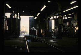
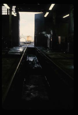
File consists of notes, clippings, and reproductions relating to the Grand Trunk Pacific Railway survey and construction. Includes: "70 years of Rail!" special edition of the Prince George Citizen newspaper (27 Jan. 1984). Includes photographs depicting the Prince George roundhouse in its original location and various trains surrounding it.
File consists of notes, clippings, and reproductions relating to Grand Trunk Pacific Railway stations. Includes 2001 and 2009 photographs depicting various Grand Trunk Pacific stations and areas along the railway.
File consists of an exhibit brochure titled "Grand Trunk Pacific: The transcontinental line" prepared by the Fraser-Fort George Museum.
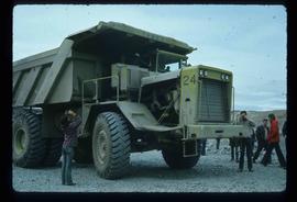
Image depicts an 80 tonne truck at a mine site somewhere in Granisle, B.C.
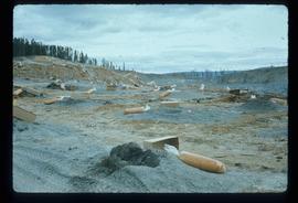
Image depicts numerous bags of blasting powder at a mine site somewhere in Granisle, B.C.
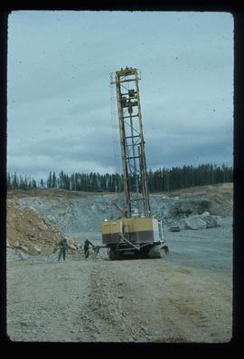
Image depicts a drill for blasting holes at a mine site somewhere in Granisle, B.C.
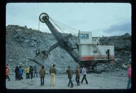
Image depicts a large, electric shovel at a mine site somewhere in Granisle, B.C.
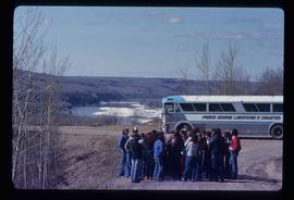
Image depicts a group of individuals and a bus with words that read: "Prince George Limousine & Charter." The river in the background is possibly the Peace River, and the location is possibly somewhere near Fort St. John, B.C.
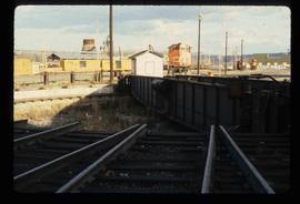
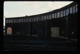
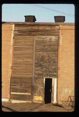
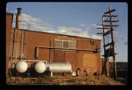
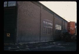
Image depicts the Grand Trunk Pacific railway roundhouse in Prince George, B.C.
File contains slides depicting images of the Grand Trunk Pacific railway roundhouse in Prince George, B.C.
Image depicts the Grand Trunk Pacific railway roundhouse in Prince George, B.C.
Image depicts the GTP roundhouse in Prince George, B.C.
Image depicts the GTP roundhouse in Prince George, B.C.
Image depicts the Grand Trunk Pacific railway roundhouse in Prince George, B.C.
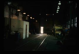
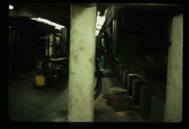
Image depicts the interior of the GTP roundhouse in Prince George, B.C.
Image depicts the interior of the GTP roundhouse in Prince George, B.C.
Image depicts the interior of the GTP roundhouse in Prince George, B.C.
Image depicts the interior of the GTP roundhouse in Prince George, B.C.
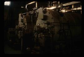
Image depicts machinery in the GTP roundhouse in Prince George, B.C.
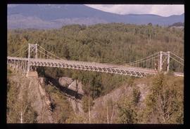
Image depicts a bridge in Hagwilget, B.C.
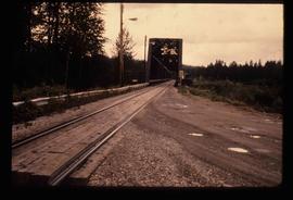
Image depicts the Hansard railroad bridge looking west. Map coordinates 54°04'37.9"N 121°50'46.3"W
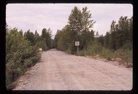
Image depicts a road leading into a First Nations' Reserve at the head of Harrison Lake.
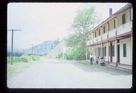
Image depicts the road leading to the historic Hat Creek Ranch site north of Ashcroft, B.C. Several individuals are sitting on the front porch of the Ranch house.
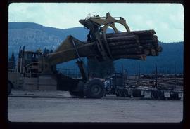
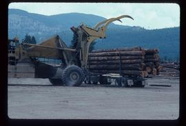
Image depicts a piece of heavy machinery lifting numerous logs off the back of a logging truck. It is likely located in Prince George, B.C.
Image depicts a piece of heavy machinery lifting numerous logs off the back of a logging truck. It is likely located in Prince George, B.C.
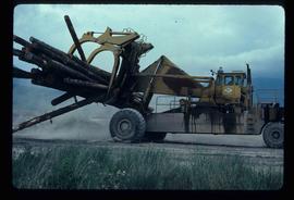
Image depicts a piece of heavy machinery lifting numerous logs. It is likely located in Prince George, B.C.
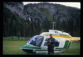
Image depicts a man standing in front of a helicopter; a waterfall is visible on the cliffs in the background. The slide itself is labelled "BC Parks Tour."
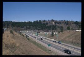
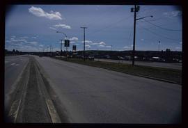
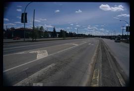
Image depicts a highway, possibly Highway 97, in Prince George, B.C.
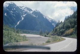
Image depicts the Skeena River alongside Highway 16 en route to Prince Rupert, B.C.
File contains slides depicting Highway 16 West, from Isle Pierre to Hazelton.
Image depicts a view along Highway 97 in Prince George, B.C.
Image depicts a section of Highway 97 looking south. Map coordinates 53°55'10.3"N 122°46'54.9"W
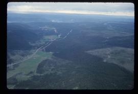
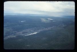
Image depicts an aerial view of Highway 97 just north of Williams Lake, B.C.
Image depicts an aerial view of the Williams Lake Airport along Highway 97, just north of Williams Lake, B.C.
File contains slides depicting Highway 97 South.
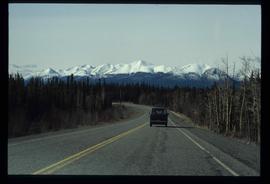
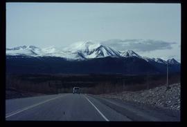
Image depicts a van on a highway with mountains in the distance; the location is uncertain, though it is possibly along the Alaska Highway.
Image depicts a van on a highway with mountains in the distance; the location is uncertain, though it is possibly along the Alaska Highway.
File consists of notes, clippings, and reproductions relating to highway transportation in and around the Prince George area. Includes material regarding the Old Cariboo Highway; the Yellowhead Highway east; and Highway 97 north. Includes: "RE: Proposed Bridge at Isle Pierre" typescript letter from Kent Sedgwick to Ken Pedergast, District Manager (4 Oct. 1991) and "Year 2000 Calendar Bridges of BC" calendar for the year 2000 produced by Argentis (2000).
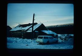
Image depicts and old house and vehicle in Upper Fraser, B.C. Map coordinates 54°07'05.7"N 121°56'38.9"W
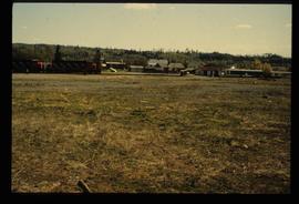
Image depicts the Giscome B.C. townsite from across the railroad tracks looking southeast. Map coordinates 54°04'19.7"N 122°22'04.7"W
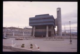
Image depicts the W.A.C. Bennett Dam in Hudson's Hope, B.C.
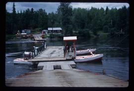
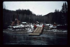
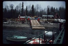
Image depicts the ferry at Isle Pierre, B.C.
Image depicts the ferry in Isle Pierre, B.C.
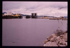
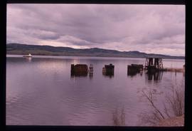
Image depicts the dock for ferries in Isle Pierre, B.C.
Image depicts the dock for ferries in Isle Pierre, B.C.
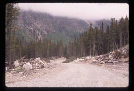
Image depicts a road, possibly Joffre Creek Road. The slide is simply labelled "Joffre cr."
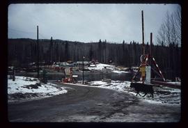
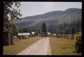
Image depicts the townsite of Keithley Creek, B.C.
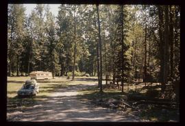
Image depicts a blue truck and a camper in the wooded area surrounding the townsite of Keithley Creek, B.C.
Image depicts a boat on the Nechako Reservoir at Kenny Dam.
Image depicts a boat dock on the Nechako Reservoir at Kenny Dam.
