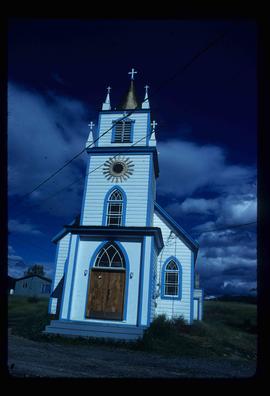
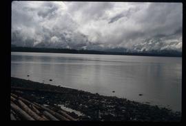
Mostrando 3025 resultados

Archival description
3025 resultados con objetos digitales Muestra los resultados con objetos digitales
Chetwynd
2012.13.1.91.32 · Item · Nov. 1978
Parte de J. Kent Sedgwick fonds

Image depicts a view of Chetwynd, possibly from Highway 97.

Chilcotin Wildlife Management Area Sign
2012.13.1.65.07 · Item · May 1975
Parte de J. Kent Sedgwick fonds

Image depicts a sign titled "Chilcotin Wildlife Management Area" somewhere near Riske Creek, B.C. It reads: "This trail has been provided by the Fish and Wildlife Branch in co-operation with Riske Creek Ranching Ltd., as access to the Chilcotin Wildlife Management Area. Please do not leave the the trail as the surrounding land is private property."

Chimney Lake
2012.13.1.52.01 · Item · May 1979
Parte de J. Kent Sedgwick fonds

Image depicts Chimney lake with a number of houses near the shore, and a child in the foreground.

Church
2012.13.1.6.098 · Item · Aug. 1979
Parte de J. Kent Sedgwick fonds

Image depicts a church, somewhere between Hazelton and Hagwilget, B.C.

Church - Interior
2012.13.1.20.03 · Item · 1980
Parte de J. Kent Sedgwick fonds

Image depicts the interior of a church, most likely St. Mark's Anglican Church in Woodpecker, B.C.

Church Interior
2012.13.1.6.026 · Item · May 1974
Parte de J. Kent Sedgwick fonds

Image depicts the interior of a church, possibly one in or near Barkerville, B.C.

City Hall
2012.13.1.3.165 · Item · May 2001
Parte de J. Kent Sedgwick fonds

Image depicts Prince George City Hall. Map coordinates 53°54'46.3"N 122°44'41.9"W

Clear Cut Logging
2012.13.1.122.03 · Item · Oct. 1975
Parte de J. Kent Sedgwick fonds

Image depicts a highway, and a section of mountain in the background which is bare due to clear-cut logging. It is possibly somewhere near Prince George, B.C.

Clear Cut Logging
2012.13.1.122.04 · Item · Oct. 1975
Parte de J. Kent Sedgwick fonds

Image depicts a logging area, and a section of mountain in the background which is bare due to clear-cut logging. The slide is also labelled "logging show." It is possibly somewhere near Prince George, B.C.

Cliff Road
2012.13.1.59.12 · Item · July 1980
Parte de J. Kent Sedgwick fonds

Image depicts a camper parked on the side of a narrow road along a cliff as another car approaches; located somewhere near Bralorne, B.C.

Cliff Road - Overhang
2012.13.1.59.14 · Item · July 1980
Parte de J. Kent Sedgwick fonds

Image depicts a camper passing under an overhang as it drives along a narrow road near a cliff; located somewhere near Bralorne, B.C.

CN Train Yard
2012.13.1.3.121 · Item · 12 Oct. 1989
Parte de J. Kent Sedgwick fonds

Image depicts a number of trains in the CNR train yard taken from River Road in Prince George, B.C. Map coordinates 53°54'51.5"N 122°43'29.6"W