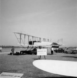
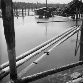
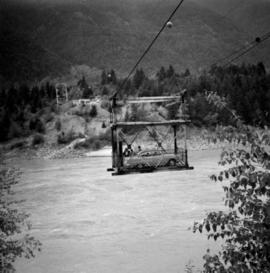
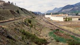
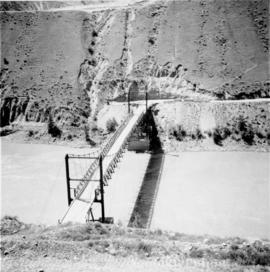
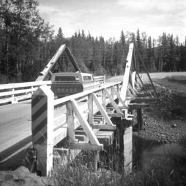
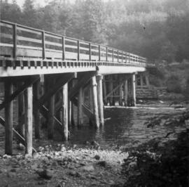
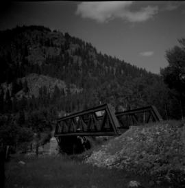
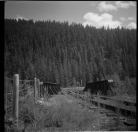
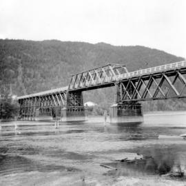
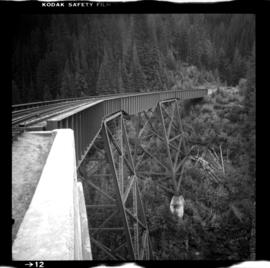
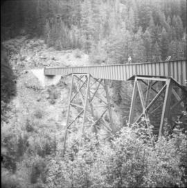
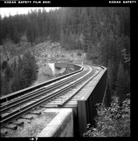
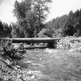
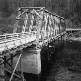
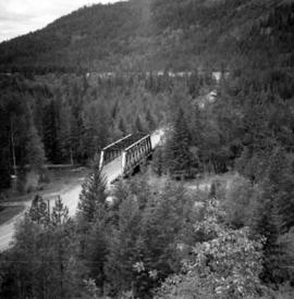
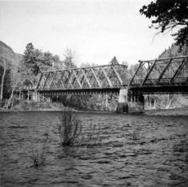
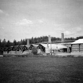
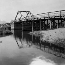
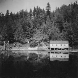
Photograph depicts a boathouse at an unknown location.
Photograph depicts a replica of the a Boeing, the first ever plane built by Boeings in 1916 in Seattle and was called the "B and W Seaplane."
Photograph depicts a compressed air operated locomotive frame and H.K. Porter boiler, built in 1912. It was believed that the locomotive frame came from the Canmore coal mines.
Photograph depicts a narrow gauge contractor's locomotive boiler owned by Mr. Shane Sherman of Lake Shore Road, Savona. It was built by H.K. Porter as boiler #1451 B on August 18, 1912.
Photograph depicts bollards for erection in new sea wall, to make outer face of the deep sea wharf being constructed at Dunlevey St. in Vancouver, B.C.
Photograph depicts booming ground at an unkown location.
Photograph depicts a booster telegraph relay station at Carmi. Carmi is located at mile 46.6 on the CPR line on the Carmi Subdivision. This is the only surviving telegraph pole between Penticton and Beaverdell. The view is looking east.
Photograph depicts the border crossing point, 12 miles east of Grand Forks. Taken on the Canadian side. Visible grain car lettered "BN." This branch line fromed a bi "U" with the bottom of it running for 15 miles in Canada, in the Grand Forks area. The line began east of Kettle Falls (hence Spokane) and concluded in the west at Republic.
Photograph depicts a free aerial car ferry crossing over the Fraser River. It took 1 car at a time and was in perpetual use at the time Davies crossed.
Photograph depicts the North Bend Ferry (Aerial Cage) at Boston Bar in the Fraser Canyon. The capacity of the aerial cage is 1 car or truck, or 40 passengers. Vehicle height clearance: 12 feet. Load-limit: 3 tons gross. Schedule: On call 24 hours. Rates: Car with driver, 25 cents; truck with driver, 50 cents; passenger, 5 cents.
Photograph depicts a boundary post between the U.S. and Canada, on the Canadian side about 2 miles east of Huntingdon in the Fraser Valley.
Photograph depicts the Bowser water tower on the Esquimalt and Nanaimo Railway, 25 miles south of Courtenay. The view is looking north.
Photograph depicts a boxcar at the C.P.R. Coquitlam yards. Note the frame construction.
File consists of research material regarding boxcar design progression over the decades, including profiles for 36-footer, 40-footer, 50-footer, and 60-footer boxcars. Predominantly consists of photocopy reproductions, excerpts from books, and clippings from periodicals.
Photograph depicts an old box car that had a vintage CNR logo. Found at the CN Kamloops Junction.
File consists of research material regarding boxcars in general, excluding boxcars owned by CPR, CNR, and BCR. Predominantly consists of photocopy reproductions, excerpts from books, and clippings from periodicals.
Photograph depicts a former fire hall now used as a boy's club on 12th Ave and St. Catherine's St., in Vancouver, B.C. It is one and a quarter miles southeast of C.N.R. station.
Postcard depicts a brace of CPR GP9's with westbound freight crossing Stoney Creek Bridge. First car behind the locomotives was a stock car. CPR gave up all movement of livestock in 1974, so this photograph was taken before that year.
Photograph depicts one of the earlier brick buildings beside the river, sited opposite the sternwheeler landing pier. It is called Commercial Block and was built in 1897.
Photograph depicts about the only brick house in North Wellington, Nanaimo. It was possibly built about 1860-1870 when coal working first commenced.
Photograph depicts the brick works at Haney, B.C., within 100 yards of the Fraser River. Current production appeared to be bricks, tiles, and flowerpots. There is a disused railway spur in the works
Photo depiicts a bridge over the Fraser River, south of Williams Lake. It was in poor condition, but was being prepared by the Department of Highways. The bridge was taken on the Gang Ranch public road, and led to the ranch and its uninhabited hinterland.
Photograph taken on Highway 16, between Vanderhoof and Burns Lake. This road and bridge was to be passed by a new section of the highway. To the date the photograph was taken, all traffic between Prince George and Prince Rupert had used the bridge.
Photograph depicts bridge crossing over the Campbell River, 1 mile west of downtown Campbell River.
Photograph depicts bridge #269 crossing the West Kettle River. This is located approximately 2 miles north of the Rhone crossing and at about mile 27 on the CPR line in the Carmi Subdivision. The view is looking north and upgrade.
Photograph depicts bridge #504 crossing Wilkinson Creek at the top end of the Sawyer loop. This is at about mile 50.75 on the CPR line in the Carmi Subdivision. The elevation here is 2973 ft. and the line is climbing at an even ascent. The view is looking northeast.
Photograph depicts a bridge in Chase, BC
Photograph depicts the East Fork Canyon Bridge over Klo Creek, located at mile 86.5 on the CPR Kettle Valley Railway in Myra Canyon. The bridge is 365 ft. long, 148 ft. high, and has 5 through plate girder spans. The view is looking southwest.
Photograph depicts the East Fork Canyon Bridge over Klo Creek, located at mile 86.5 on the CPR Kettle Valley Railway in Myra Canyon. The bridge is 365 ft. long, 148 ft. high, and has 5 through plate girder spans. The view is looking northeast.
Photograph depicts the East Fork Canyon Bridge over Klo Creek, located at mile 86.5 on the CPR Kettle Valley Railway in Myra Canyon. The bridge is 365 ft. long, 148 ft. high, and has 5 through plate girder spans. The view is looking north.
Postcard depicts a bridge on the CPR line.
Photograph depicts a bridge on the Upper Clearwater Rd., 10 miles north of Clearwater. The town is 70 miles north of Kamloops. The road leads north (to left side of photo) to the entrance of Wells Gray Provincial Park.
Photograph depicts bridge over the Alouette River, 3.5 miles north of Port Hammond and close to Dewdney Truck Road in the Fraser Valley.
Photograph depicts a bridge over the Alouette River, 3.5 miles north of Port Hammond in the Fraser Valley.
Photograph depicts a bridge over Brookmere public road in Kingsvale. Davies noted that there must have been a problem around the bend as the "Whistle" sign and the imposed speed restriction of 30 mph suggested.
Photograph depicts a bridge over Clearwater River.
Photograph depicts a bridge over Kettle River.
Photograph depicts a bridge over Lardeau River. Survey stakes at the point where the photograph was taken suggested that a new bridge would be built within the next 2 or 3 years.
Photograph depicts a bridge over the Nanaimo River on the road between Nanaimo and Cedar-by-the-Sea, looking west, downstream to river.
Photograph depicts the bridge over the Nicola River at Spences Bridge in the north Fraser Canyon, looking downstream.
Photograph depicts the bridge over the Nicomen Slough (which was a turgid smal arm of the Fraser River at this point) at Dewdney. It was fairly recently built.
Photograph depicts a bridge over Otter River, about 3/4 miles southeast of Tulameen.
Photograph depicts a bridge near the beginning of the Seton Portage to D'Arcy dirt road over the Portage River. The road was a one and half of a mile connection between the Anderson (upper) and Seton (lower) lakes.
Photograph depicts a bridge over Powell Lake, directly behind Powell River town. The bridge is in poor condition and being replaced by steel bridge at right (just off the picture).
Photograph depicts a bridge over Scotch Creek on the north shore of Shuswap Lake about 10 miles northeast of Squilax.
Photograph depicts bridge over the Similkameen River between Hedley and Keremeos. The bridge leads to Ashnola and the photograph taken from the south bank.
Photograph depicts bridge over the Similkameen River between Hedley and Keremeos. The bridge leads to Ashnola and the photograph taken from the northwest looking south.
Photograph depicts the bridge over the south Thompson River at Squilax where the road connects Squilax Village with a First Nations reservation on the north bank (photo background). The overhead truss in the center span was created to give clearance to paddle sternwheelers.
Photograph depicts a bridge over the south Thompson River at the west end of Shuswap Lake at Squilax. The left or northern span used to be a lifting span for sternwheelers (pre 1920s?).
Photograph depicts the bridge over the north Thompson River at Barriere, 40 miles north of Kamloops. View is looking towards the east bank. A new bridge is being built half a mile upstream and just awaiting decking.