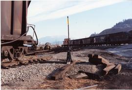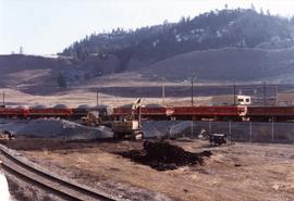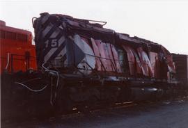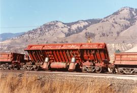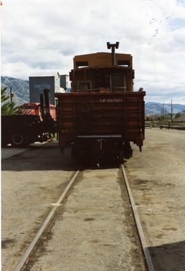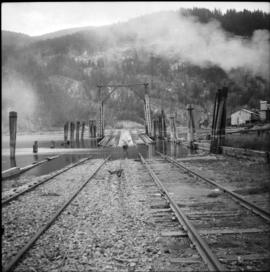
2013.6.36.1.111.12
·
Item
·
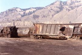
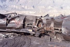
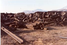
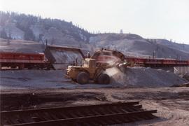
4 Feb. 1989
Part of David Davies Railway Collection
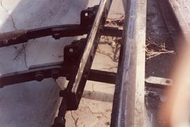
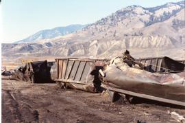
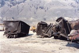
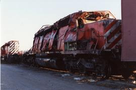
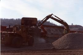
Photograph depicts a CPR coal train crash near Lafarge.