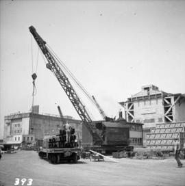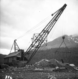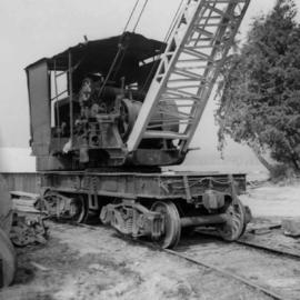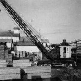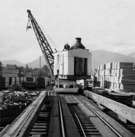
2013.6.36.1.005.01
·
Item
·
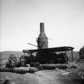
Aug. 1964
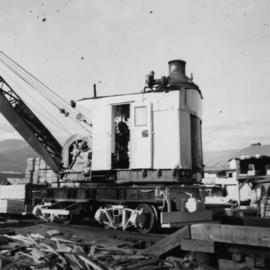
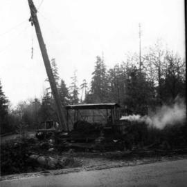
Part of David Davies Railway Collection
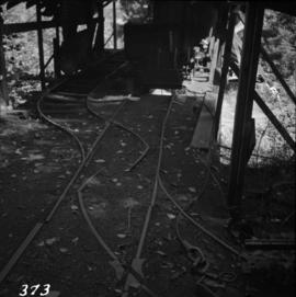
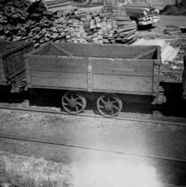
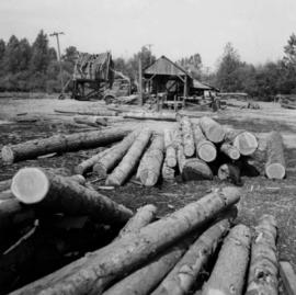
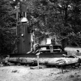
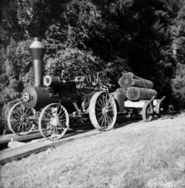
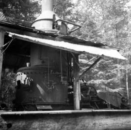
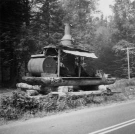
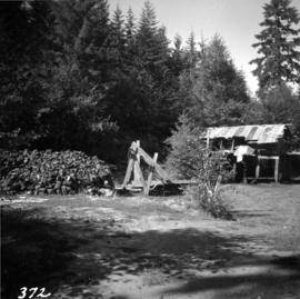
Photograph depicts a small coal drift mine which worked perhaps 6 months prior to the picture being taken. Timber lands # 8, Cranberry, about 17 miles south of Nanaimo.