Item is a recording of a memorial service held for Margaret Benston with speeches and music by friends and colleagues.
Item is an interview completed for a Canadian Studies 390/391 course at Simon Fraser University about the life and career of Margaret Benston.
File consists of photocopied archival materials on Margaret Benston at Simon Fraser University.
File consists of research materials concerning Margaret Benston including archival research, photocopied articles, notes, and related correspondence.
File consists of a consent form, transcript, summary and audio recording from an interview with Marg Latham conducted for Ainley's "Critical Turning Points" research. File also contains Latham's business card.
Photograph depicts unidentified man in dress shirt and tie standing next to large Caterpillar engine on flatbed. Road in foreground, unidentified building in background. Accompanying note reads: "MTCE 4-01 (b) Cat 3612 Engine".
Photographs depict different construction projects at separate locations in Cassiar. Photographs were originally housed in envelopes with the following annotations: "POLICE STATION. July 15, 1977."; "Aggregates and Concrete (PERMASTEEL)"; "Fibre Storage and Handling"; "Powerhouse Expansion"; "Sewage Collection Plant."; "Sewage Treatment Plant"; "Single Person Accommodations - Site Work."; "Outside Work - Camp Nos. 1,2,3." Photos generally feature the work sites, supplies, vehicles, machinery, and work in progress at each location.
Additional photographs integrated into file include maintenance project on lining of tubes, lining of aspiration hood, and lining of willow fiberizer. Also five photographs of maintenance in the townsite to fix in ground piping.
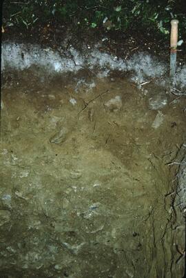
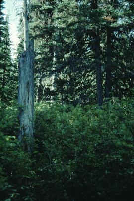
This born-digital document consists of field observations for Mackenzie Valley sites N04-06 to -08, Aug. 9-10.
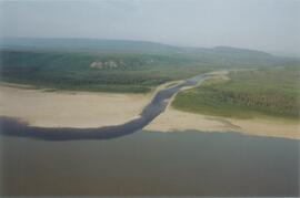
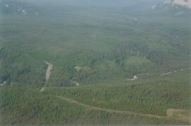
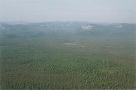
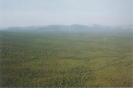
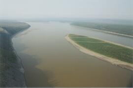
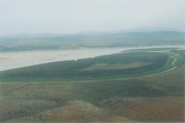
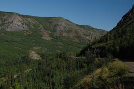
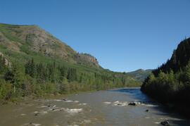
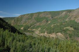
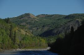
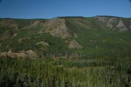
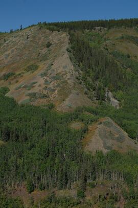
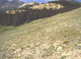
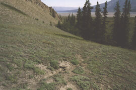
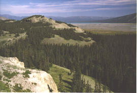
Photograph depicts the Mackenzie Valley and the Franklin Mountains.
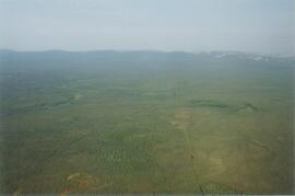
Photograph depicts the Mackenzie Valley and the Franklin Mountains.
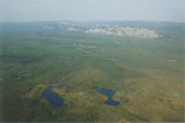
Photograph depicts the Mackenzie Valley and the Franklin Mountains.
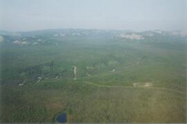
Photograph depicts the Mackenzie Valley and the Franklin Mountains. Pipeline is visible.
Photograph depicts the Mackenzie Valley and the Franklin Mountains. Pipeline is visible.
The eastern flank of the Mackenzie Mountains has a complex history of multiple glaciations by both the Laurentide and Cordilleran ice sheets, recorded in thick sequences of glacial sediments that were documented at 3 locations (Katherine Creek, Little Bear River, Inlin Brook) by:
Duk-Rodkin, A., R.W. Barendregt, C. Tarnocai, and F.M. Phillips. 1996. Late Tertiary to late Quaternary record in the Mackenzie Mountains, Northwest Territories, Canada: stratigraphy, paleosols, paleomagnetism, and chlorine-36. Canadian Journal of Earth Sciences 33 (6): 875-895. https://doi.org/10.1139/e96-066
Of the 3 sites, the exposure on Inlin Brook, a tributary of the Keele River, was the least well-documented, so in summer 2004 Dr. Paul Sanborn joined a field party of the Geological Survey of Canada (GSC) based at Tulita, NWT, and was given helicopter support to visit Inlin Brook (August 5-8). A brief visit was also made to the Little Bear River site.
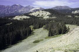
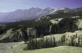
On August 9-10, Sanborn joined Alejandra Duk-Rodkin (GSC) and Rene Barendregt (U Lethbridge) in helicopter-assisted field work at sites in the Franklin Mountains and elsewhere east of the Mackenzie River.
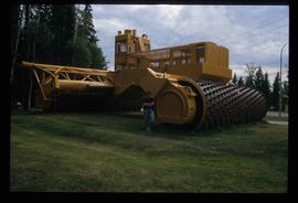
Image depicts an individual standing next to the world's largest tree crusher in Mackenzie, B.C.
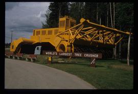
Image depicts the world's largest tree crusher in Mackenzie, B.C.
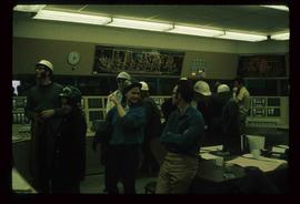
Image depicts numerous individuals wearing hard hats in what appears to be a computer room somewhere in Mackenzie, B.C.
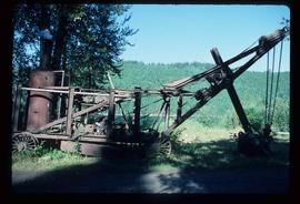
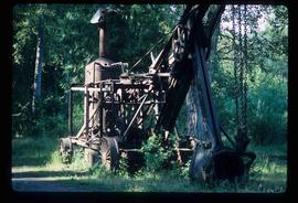
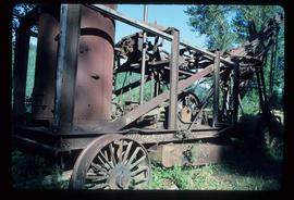
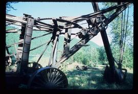
Image depicts a large, old piece of machinery, possibly some form of mining or prospecting equipment; it is located in Quesnelle Forks, B.C.
Image depicts a large, old piece of machinery, possibly some form of mining or prospecting equipment; it is located in Quesnelle Forks, B.C.
Image depicts a large, old piece of machinery, possibly some form of mining or prospecting equipment; it is located in Quesnelle Forks, B.C.
Image depicts a large, old piece of machinery, possibly some form of mining or prospecting equipment; it is located in Quesnelle Forks, B.C.
This born-digital "Lucille Mountain soils" document provides a description and basic data for the Lucille Mt. pedon.
File consists of handwritten notes and photocopied research materials on Louise de Kiriline Lawrence.
The BC Ministry of Forest's EP 1148 Long-term Soil Productivity (LTSP) study addresses two key factors— soil porosity and site organic matter—that potentially limit tree growth and site productivity in the timber-harvesting land base and that can be affected by forestry operations.
Annotation on slide: "Summit Lake, March 1992".
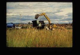
Image depicts numerous piles of logs, and two unidentified individuals operating an excavator with a "thumb" attachment during the demolition of the Upper Fraser town site. Map coordinates 54°06'51.6"N 121°56'26.3"W
Annotation on slide: "[mostly illegible] Km 3 [?] pinker [?] cubic block"
Annotation on slide: "Summit Lk".
No annotation on slide.
