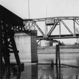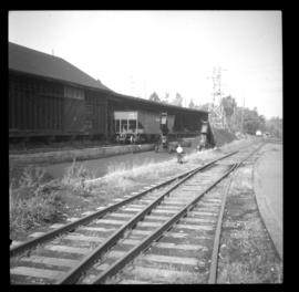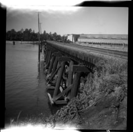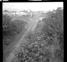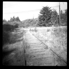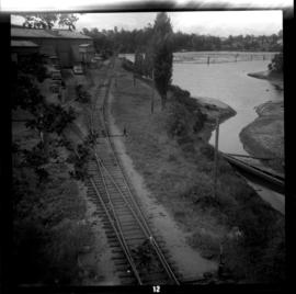
2013.6.36.1.001.13
·
Item
·
[May 1965]
Part of David Davies Railway Collection
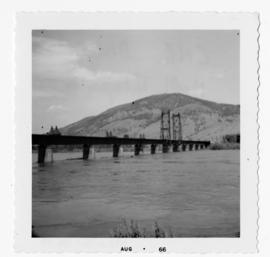
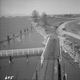
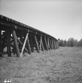
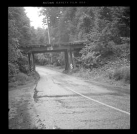
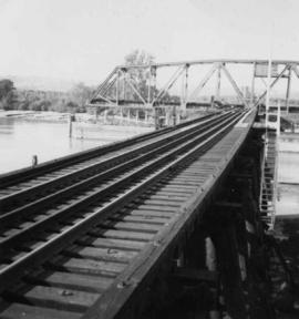
Photograph depicts a C.N.R. swing bridge over the north arm of the Fraser River, approximately 5 miles southeast of New Westminster, looking north.