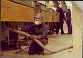
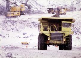
2000.1.1.3.15.24
·
Item
·
1961
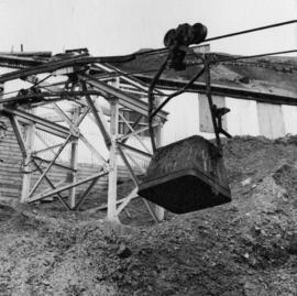
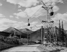
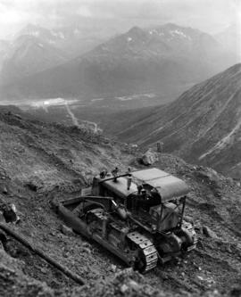
Part of Cassiar Asbestos Corporation Ltd. fonds
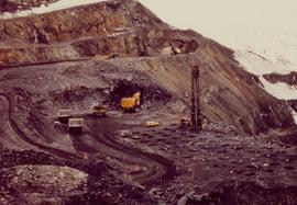
Photograph depicts ore haul truck at dump in mine, mountain range in background. Photo also features driver and a second unidentified man standing in front of truck. Handwritten annotation on recto of photograph: "Int. Harvester Payhauler Model 95 dumping stripping waste at 6565 Elevation", on verso: "1961".