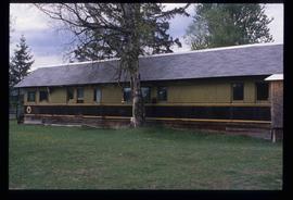
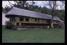
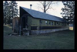
Image depicts a small foot bridge at an unknown location. The slide is simply labelled "Rudi's Bridge."
Image depicts the Royal Canadian Legion building on 7th Ave and the Inn of the North Coast Hotel in the background. Map coordinates 53°54'50.6"N 122°44'56.1"W
Image depicts two rows of houses in an unknown location.
Image depicts a row of houses in Upper Fraser, B.C. Map coordinates 54°06'51.6"N 121°56'26.3"W
Image depicts a row of houses; it is possibly in Prince Rupert, B.C.
Image depicts a view of McBride in the Rocky Mountain Trench.
Image depicts the peak of the Rocher de Boule mountain from Hazelton, B.C.
Image depicts an old log cabin with the sign "Robin Hood Flour" on it at an uncertain location. It is possibly at the 153 Mile House.
Image depicts a road with what appears to be a junkyard to the right of the image, likely located somewhere in Seton Portage, B.C.
Image depicts what appears to be a small, narrow river, and mounds of snow. The location is uncertain.
Image depicts the "Riske Creek General Store" in Riske Creek, B.C.
Image depicts Riske Creek, B.C. The brown building on the left is the local school.
Image depicts the Esso gas station in Riske Creek, B.C.
Image depicts the interior of a church in Shelley, B.C.
Image depicts the interior of the church after its restoration, in Shelley, B.C.
Image depicts a residential area with a playground somewhere in Mackenzie, B.C.
Image depicts a building in Reid Lake
Image depicts a the teacherage building in Red Rock.
Image depicts the Red Rock School.
Image depicts a building in Red Rock.
Image depicts a woman standing on the porch of a hut located by Raven Lake.
Image depicts the ranch house of the Ranch of the Vikings, originally owned and operated by Bjorger Pettersen, a member of the Canadian Ski Hall of Fame, from 1970 until 1985. It is located somewhere west of McBride, B.C.
Image depicts a wooden Ranch House at an uncertain location.
Image depicts the Ramada Hotel in Prince George, B.C.
Image depicts railway tracks on the right side of the image, and several old houses alongside it. The location is uncertain.
Image depicts a set of railway tracks and a long building located somewhere in the Peace River Region.
Image depicts a railway bridge, possibly in the small town of Fraser, located on the Klondike Highway in B.C.
Image depicts two merging railway tracks, and what appears to be a frozen river, somewhere near the summit of a mountain.
Image depicts a rail road construct from Highway 97 at Mile 126; the slide is also labelled "McAlister."
Image depicts a house made from a rail car in an uncertain location. It could be in Hixon, Red Rock, or Woodpecker, B.C.
Image depicts a general store in Quick, B.C.
Image depicts Kent Sedgwick standing in front of a sign with a dog in Quesnelle Forks, B.C. The sign describes the history of the site, which began as a mining camp in 1859, but was later completely abandoned after a fire in 1866. It is now managed as a Forest Service Recreation Project.
Image depicts a collapsed wooden structure, possibly a bridge, which is likely located somewhere near Quesnelle Forks.
Image depicts an old building which has collapsed into a pile of wood, possibly in Quesnelle Forks.
Image depicts numerous abandoned and ruined cabins at Quesnelle Forks.
Image depicts numerous old and ruined cabins in Quesnelle Forks.