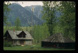
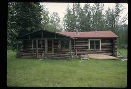
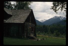
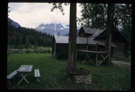
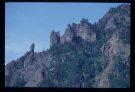
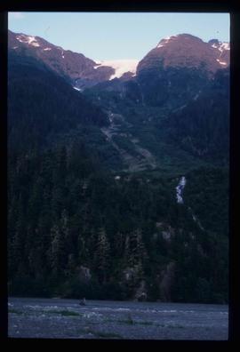
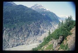
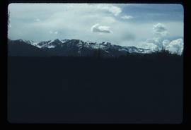
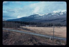
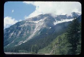
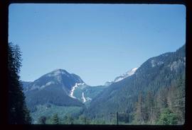
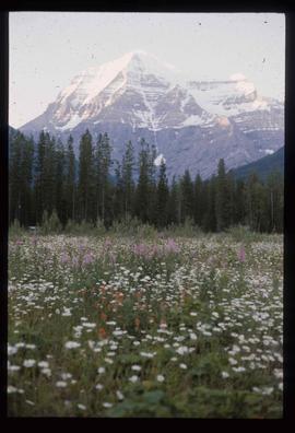
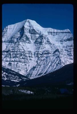
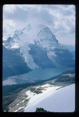
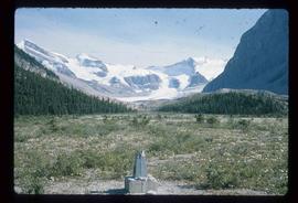
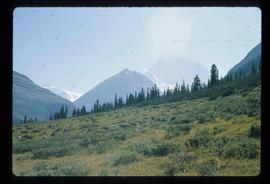
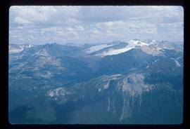
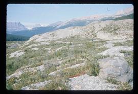
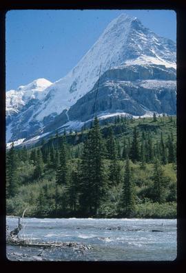
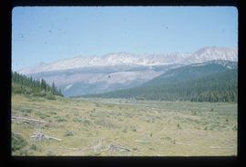
File contains slides depicting numerous individuals hiking up Mount Robson.
File contains slides depicting the Mount Robson Ranch.
Image depicts the Mount Robson Ranch.
Image depicts an old gas pump at the Mount Robson Ranch.
Image depicts the old trading post at Mount Robson Ranch.
File consists of notes, clippings, and reproductions relating to Mount Sir Alexander, a mountain in the Sir Alexander Area of the Continental Ranges of the BC Canadian Rockies.
Item is an original 1969 map depicting Mount Waddington in British Columbia, published by the Department of Energy, Mines and Resources in Ottawa Canada.
Item is an original 1984 map depicting Mount Waddington in British Columbia, published by the Energy Mines and Resources of Canada.
Image depicts a mountain at an uncertain location.
Image depicts what is possibly the Robson River at the base of Mt. Robson.
Image depicts a mountain with a thin line of what appears to be a road visible on the side, with the Bear Glacier located on the left side of the image.
Image depicts a rock formation on a mountain side at an uncertain location.
Image depicts a mountain somewhere in Bear Glacier Provincial Park.
Image depicts numerous mountains surrounding the Bear Glacier.
Image depicts a mountain range "east of Driftwood," possibly meaning the Driftwood Canyon Provincial Park east of Smithers, B.C.
Image depicts what is either the Rocky Mountains or possibly the Columbia Mountains, from McBride, B.C.
Image depicts a mountain range located somewhere along the Skeena River.
Image depicts a field and a shack in the foreground and mountains in the background. The location is uncertain, likely Longworth, B.C.
Image depicts Mr. P.G. and the Tourism Information site at the intersection of Highway 16 and 97. Map coordinates 53°53'46.5"N 122°46'00.7"W
File consists of clippings and notes relating to Prince George mascot, Mr. PG. Also includes collectable Mr. P.G. stamps (2009) and various clipped articles from the Prince George Citizen newspaper (2009).
Image depicts a snow sculpture of the Mr. P.G. lounging on a couch, possibly during the Winter City Conference, in Prince George, B.C. Taken at the Prince George Civic Center. Map coordinates 53°54'45.6"N 122°44'59.6"W
The item is a promotional map depicting Prince George in 1966 and its amenities including businesses, activities, highways and the Fraser and Nechako rivers. The back depicts the Central Interior and the 1966 directory.
Image depicts Mt. Fitzwilliam.
Image depicts Mt. Robson.
Image depicts a view of the Berg Lake and Glacier on the slope of Mt. Robson.
Image depicts the peak of Mt. Robson.
Image depicts a range of mountains in the Mt. Robson Provincial Park.
Image depicts a view of Mt. Robson Provincial Park.