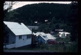
2007.17.4.19
·
Item
·
[ca. 1960]
Part of James Joseph Claxton Photograph Collection
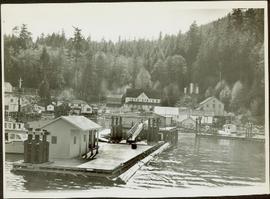
Photograph depicts a wharf and buildings along the shore of an unidentified fishing community with a forested environment visible in the background.