This map is part of Schedule B of the 1993 Official Community Plan, Bylaw No. 5909 for the City of Prince George. This particular map depicts the northwest area of the City of Prince George, including the North Nechako neighbourhood and the Hart.
This map depicts the City of Prince George's plan for soil removal and deposit.
This map is part of Schedule B of the 1993 Official Community Plan, Bylaw No. 5909 for the City of Prince George. This particular map reflects the 1998 amendment to the Official Community Plan.
This map is part of Schedule B of the 1993 Official Community Plan, Bylaw No. 5909 for the City of Prince George. This particular map reflects the 1998 amendment to the Official Community Plan.
This map is Schedule C of the 2001 Official Community Plan, Bylaw No. 7281 for the City of Prince George. This Schedule C map shows the long range land use for the City of Prince George.
This map is the May 2006 amendment (Bylaw 7807) of the Schedule C of the 2001 Official Community Plan, Bylaw No. 7281 for the City of Prince George. This Schedule C map shows the long range land use for the City of Prince George.
This map is the May 2008 amendment (Bylaw 8061) of the Schedule C of the 2001 Official Community Plan, Bylaw No. 7281 for the City of Prince George. This Schedule C map shows the long range land use for the City of Prince George.
This map is the October 2006 amendment (Bylaw 7807) of the Schedule C of the 2001 Official Community Plan, Bylaw No. 7281 for the City of Prince George. This Schedule C map shows the long range land use for the City of Prince George.
This map is the Schedule A accompanying map for the City of Prince George's Soil Removal and Deposit Bylaw No. 7022 of 1999. It depicts designated soil removal areas and M.O.T.H. gravel reserves.
This map is part of Schedule B of the 1993 Official Community Plan, Bylaw No. 5909 for the City of Prince George. This particular map depicts the southwest area of the City of Prince George, including College Heights, UNBC, University Heights, and Vanway.
Item is Map 2 of a group of five maps relating to a City of Prince George Study of Construction Aggregates by the firm Willis, Cunliffe, Tair & Company Limited. Map 2 shows development areas and aggregate requirements for 1984 and 1994. As the map is undated, it is unclear whether the 1984 and 1994 dates are future estimates.
Item is Map 1 of a group of five maps relating to a City of Prince George Study of Construction Aggregates by the firm Willis, Cunliffe, Tair & Company Limited. Map 1 shows development areas and population for 1984 and 1994. As the map is undated, it is unclear whether the 1984 and 1994 dates are future estimates.
Item is Map 4 of a group of five maps relating to a City of Prince George Study of Construction Aggregates by the firm Willis, Cunliffe, Tair & Company Limited. Map 4 shows development areas, aggregate sources, and requirements for 1984 and 1994. As the map is undated, it is unclear whether the 1984 and 1994 dates are future estimates.
Item is Map 5 of a group of five maps relating to a City of Prince George Study of Construction Aggregates by the firm Willis, Cunliffe, Tair & Company Limited. Map 5 shows drill hole locations.
Item is Map 3 of a group of five maps relating to a City of Prince George Study of Construction Aggregates by the firm Willis, Cunliffe, Tair & Company Limited. Map 3 shows geology of the Prince George area and known sources of construction aggregates.
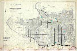
This municipal map of the City of Vancouver from 1987 shows street names and street widening information.
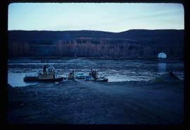
Image depicts the Clayhurst Ferry on the Peace River.
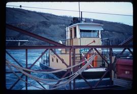
Image depicts the Clayhurst Ferry on the Peace River.
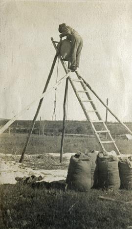
Photograph depicts a man standing on a high ladder pouring grain from a sack to a tarp below. Sacks of grain in the foreground, field and trees in the background.
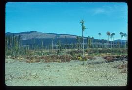
Image depicts a highway, and a section of mountain in the background which is bare due to clear-cut logging. It is possibly somewhere near Prince George, B.C.
Image depicts a logging area, and a section of mountain in the background which is bare due to clear-cut logging. The slide is also labelled "logging show." It is possibly somewhere near Prince George, B.C.
Image depicts a clearing at Island Cache.
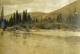
Photograph depicts a river, riverbank, forest and treed rolling hills.
Photograph depicts a scow with several men in the center of a river.
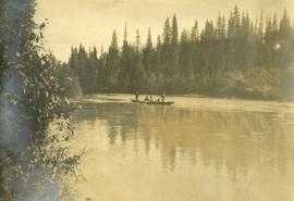
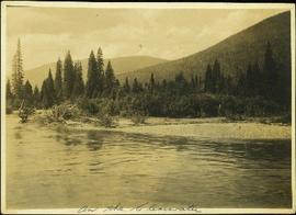
Photograph depicts opposite shore in background behind river, and close shore in foreground on right. Men can be seen standing and paddling on canoe in distance. Handwritten photo caption on verso and recto of this photograph reads: "On the Clearwater".
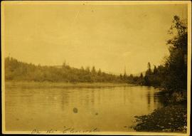
Photograph depicts opposite shore in midground behind river, tree-covered hills in background. Handwritten photo caption on verso and recto of this photograph reads: "On the Clearwater".
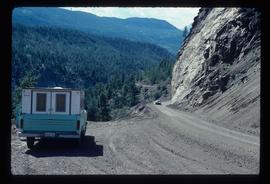
Image depicts a camper parked on the side of a narrow road along a cliff as another car approaches; located somewhere near Bralorne, B.C.
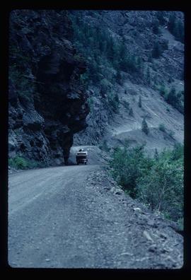
Image depicts a camper passing under an overhang as it drives along a narrow road near a cliff; located somewhere near Bralorne, B.C.
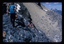
Image depicts a climbing either up or down a rock face.
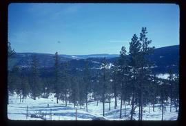
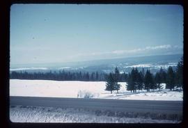
Image depicts a view of the scenery near Clinton, B.C.
Image depicts a view of the scenery near Clinton, B.C.
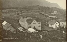
Close up photograph of a large residential building in a freshly clear cut area. To the right of the main building is the church and an unidentified commercial building. Annotation on recto reads: "Prince Rupert, BC 1660."
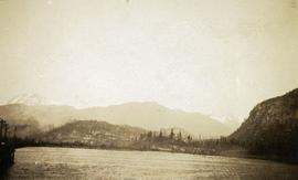
Forest and hills on opposite shore in background.
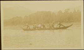
Handwritten annotation on verso reads: "poling canoe up Nass River".
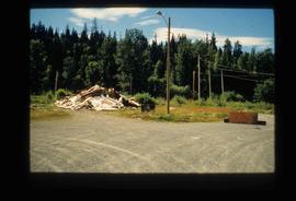
Image depicts Upper Fraser residential area during demolition of town site. Map coordinates 54°06'51.6"N 121°56'26.3"W
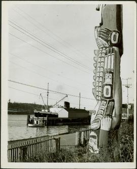
Photograph depicts a close-up of a totem pole behind a fence overlooking a wharf and a ship named Camosun. Photographer’s stamp on verso: “W.E. Nicholson, 268 E. 10th, Vancouver 10, B.C.”
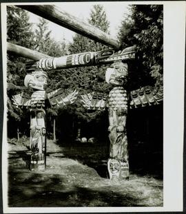
Photograph depicts a close-up of Alert Bay house posts adorned with First Nations carvings. Photographer’s stamp on verso: “W.E. Nicholson, 268 E. 10th, Vancouver 10, B.C.”
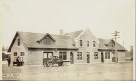
Street view photograph of a large brick with a vehicle parked in front. Printed annotation on recto reads: "C.N.R. Station Prince George, B.C."
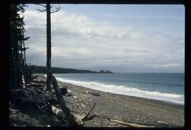
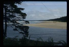
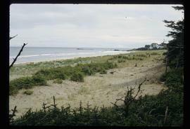
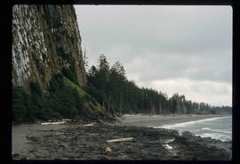
Image depicts the coastline of Haida Gwaii, B.C.
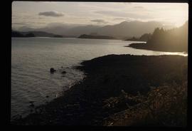
Image depicts a view of the coast of Haida Gwaii.
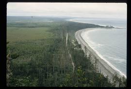
Image depicts an aerial view of the coastline of Haida Gwaii, B.C.
Image depicts a view of the coast of Haida Gwaii.
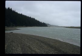
Image depicts the coastline of Haida Gwaii, B.C.
Image depicts the coastline of Haida Gwaii, B.C.
Image depicts a view of the coast of Haida Gwaii.
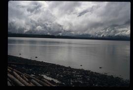
Photograph depicts a dock on the left, water, low treed hills in the center of the photo and mountains in the distance.
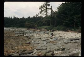
Image depicts the coastal forests on the shores of Haida Gwaii, B.C.
Image depicts the coastal forests on the shores of Haida Gwaii, B.C. An unknown individual is crouching on the beach in the image.
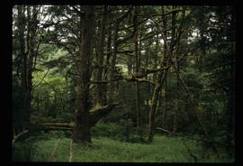
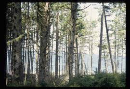
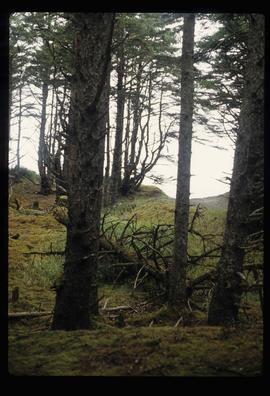
Image depicts numerous trees in the coastal forest of Haida Gwaii, B.C.
Image depicts numerous trees in the coastal forest of Haida Gwaii, B.C.
Image depicts numerous trees in the coastal forest of Haida Gwaii, B.C.


![City of Prince George - Schedule B of the Official Community Plan, Bylaw No. 5909 [1998 Amendment]](/uploads/r/northern-bc-archives-special-collections-1/d/6/d/d6d1c4e7e37fc948b97b3caa36447b52f7d2b76b13d45e3710aefee7b13840f0/2023.5.1.33_-_1998_Official_Community_Plan_City_of_PG_JPG85_tb_142.jpg)
![City of Prince George - Schedule B of the Official Community Plan, Bylaw No. 5909 [2001 Amendment]](/uploads/r/northern-bc-archives-special-collections-1/c/3/6/c36392b90696286cc6281e8cc2efbf7691c2617726495fa28db2cbdcc20e4e4c/2023.5.1.36_-_Official_Community_Plan_City_of_PG_Schedule_B_2001_JPG85_tb_142.jpg)

![City of Prince George - Schedule C of the Official Community Plan - Long Range Land Use Map [May 2006 Amendment]](/uploads/r/northern-bc-archives-special-collections-1/6/5/5/65536bc04aa97580c140131651dc357dfe5c3a1315822394f388d96940bc39cb/2023.5.1.39_-_2006_May_-_City_of_Prince_George_Long_Range_Land_Use_Map_JPG85_tb_142.jpg)
![City of Prince George - Schedule C of the Official Community Plan - Long Range Land Use Map [May 2008 Amendment]](/uploads/r/northern-bc-archives-special-collections-1/4/3/a/43a9e75941f1542735d999de340307d163e79dffdadbf4546bb9346b63f7e734/2023.5.1.41_-_2008_May_-_City_of_Prince_George_Long_Range_Land_Use_Map_JPG85_tb_142.jpg)
![City of Prince George - Schedule C of the Official Community Plan - Long Range Land Use Map [October 2006 Amendment]](/uploads/r/northern-bc-archives-special-collections-1/6/d/6/6d643c10801eba2ac493689972e57429dba42ec7592f54cb55151b96362d7048/2023.5.1.40_-_2006_Oct_-_City_of_Prince_George_Long_Range_Land_Use_Map_JGP85_tb_142.jpg)


