Showing 1046 results
Archival description
Mouth of Black Creek

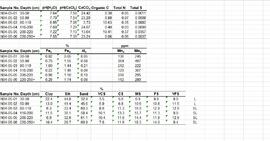
Muskwa-Kechika soils and prescribed burning project data

Near Camp 1, facing west down the Yukon River

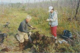
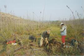
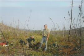
Near Camp 3

Near Camp 3

Near Camp 3

Near Camp 3
Near Camp 3
New tephra at Site Y04-18 at Lost Chicken Mine (8)
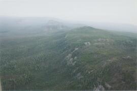
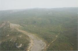
Norman Range (1)

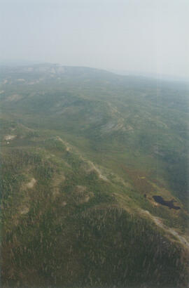
Norman Range (2)
Norman Range (3)
Norman Range (4)
Norman Range (5)
Norman Range (6)
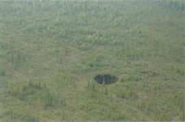
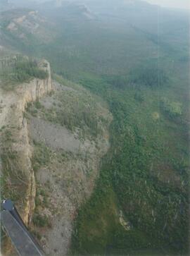
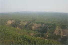
Norman Range sinkhole
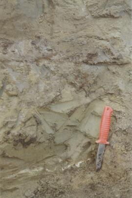
Norman Range site with loess over till (1)
Norman Range site with loess over till (2)
Norman Range site with loess over till (3)

North side of the Yukon River, mid-Pleistocene basalts west of gully

North side of Volcano Mountain

North side of Volcano Mountain

North side of Volcano Mountain

North side of Volcano Mountain

North side of Volcano Mountain

North side of Volcano Mountain

North View of Tramline from Valley

North View of Tramline From Valley

Northwood Pulp & Timber Limited 1975 Operating Areas

Nostoc Crust (Kluane NP, Lower Slims)
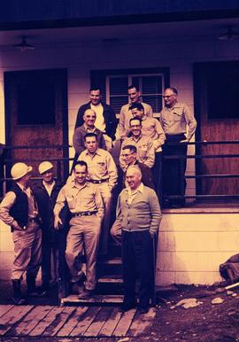
Office Staff at Main Office, 1958
Paleosol data from Inlin Brook and Red Ochre River sites

"Paleosol Studies at Inlin Brook, NWT: August, 2004 - Report to the Geological Survey of Canada"

Paleosols at the Goldbottom site, Klondike goldfields

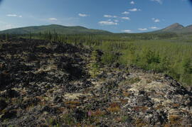
Paleosols at the Lost Chicken Mine, Chicken, Alaska

Pelly River and Yukon River confluence

Pelly River and Yukon River confluence
Personal electronic records

Plot 3 uncut control plot, Summit Lake

Plot 3, Summit Lake

Portrait of Model for New Mill

Post-logging view south of plot 27 at Summit Lake Selection Trial

Post-logging view south of plot 27 at Summit Lake Selection Trial

Post-logging view south of plots 27 and 21 at Summit Lake Selection Trial

Pre-logging view from Main Road and A Road junction at Summit Lake Selection Trial
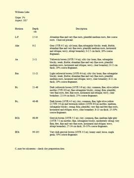
"Profile Descriptions"
"Project Completion Report to the Science Council of British Columbia: Effects of Prescribed Fire on Sulphur in Forest Soils"

Proposed railway spur - Aleza Lake Forest Experiment Station

Radial growth of 20 cm on released subalpine fir, Summit Lake trial

Ranger Station at Aleza Lake Experiment Forest