Showing 1046 results
Archival description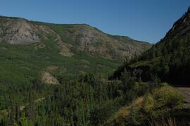
Lower Tuya River, facing upstream ~5 km above the Stikine River confluence
Lucille Mountain site view
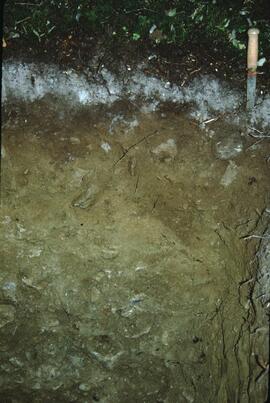
Lucille Mountain soil profile view
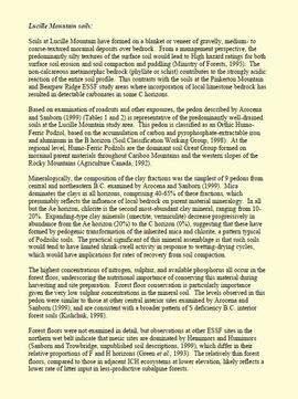
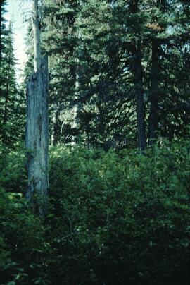
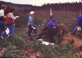
"Lucille Mountain soils"

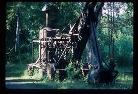
Machinery
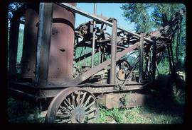
Machinery
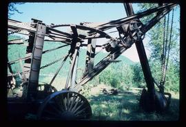
Machinery
Machinery

Mackenzie - People Wearing Hard Hats
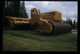
Mackenzie - World's Largest Tree Crusher
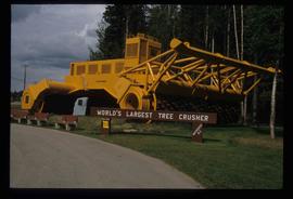
Mackenzie - World's Largest Tree Crusher
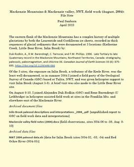
Mackenzie Mountains and Mackenzie Valley, NWT field work
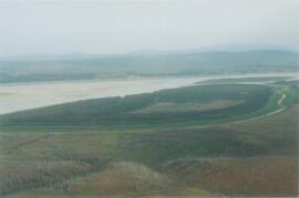
Mackenzie River
Mackenzie River south of Tulita
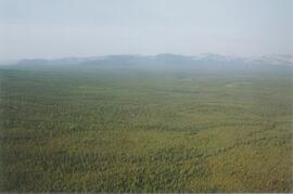
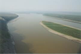
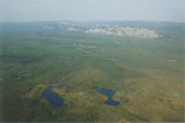
Mackenzie Valley - Franklin Mountains (1)
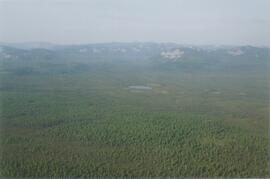
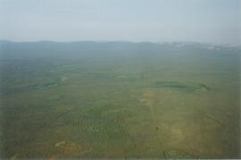
Mackenzie Valley - Franklin Mountains (2)
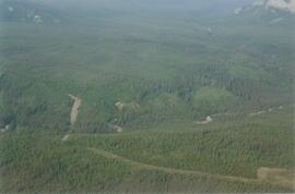
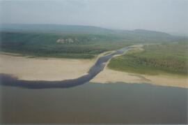
Mackenzie Valley - Franklin Mountains (3)
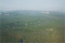
Mackenzie Valley - Franklin Mountains (4)
Mackenzie Valley - Franklin Mountains (5)
Mackenzie Valley - Franklin Mountains (6)
Mackenzie Valley - Franklin Mountains (7)
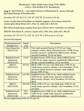
"Mackenzie valley field notes (Aug. 9-10, 2004)"
Marked-to-cut tree, Summit Lake Selection Trial
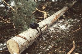
Marked-to-cut trees in log pile, Summit Lake Selection Trial

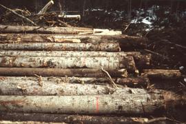
Marked-to-cut trees in log pile, Summit Lake Selection Trial

McGregor River forest cover map
McGregor tour 1995
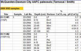
McQuesten-Dawson City paleosol data for Yukon Paleosol Study
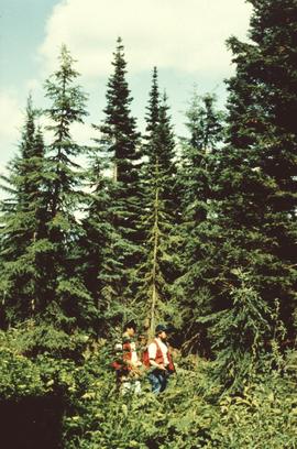
Michael Jull and unknown man in light residual basal area, Summit Lake
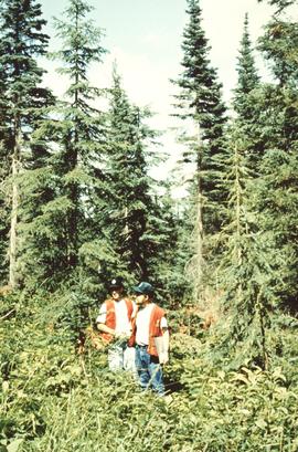
Michael Jull and unknown man, Summit Lake

Michael Jull identifying basal scarring on Douglas fir, Summit Lake

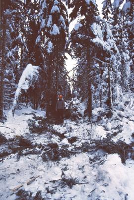
Michael Jull identifying blowdown due to tomentosus butt rot, Summit Lake

Michael Jull in area of moderate volume removal, Summit Lake

Michael Jull in area of moderate volume removal, Summit Lake
Michael Jull on skid road by advanced regeneration at Summit Lake

Middle Pleistocene basalt cliffs west of Camp 2

Middle Pleistocene basalt cliffs west of Camp 2

Middle Pleistocene basalt cliffs, facing downstream between Camp 1 and Camp 2

Middle Pleistocene basalt cliffs, facing downstream between Camp 1 and Camp 2

Mine & Ore Gravity Chute

Mine Site Equipment
"Mineralogy of clay and sand fractions of soils developed from till, glaciofluvial and glaciolacustrine deposits in central interior British Columbia"

Ministry of Forests internal memorandum "Re: Evaluation of BaCl₂ method for soil cations"

MK Soils Project - 2001 - General Vegetation Descriptions

Model for New Mill Displayed in Room

Model for New Mill Displayed Outdoors

Monkman P.S.Y.U. forest cover map

Monkman P.S.Y.U., T.F.L. 30, and area

Mosquito Creek Gold Mining

Mosquito Creek Gold Mining