2013.6.36.1.004.13
·
Item
·
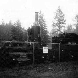
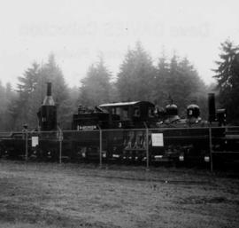
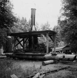
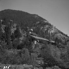
Aug. 1964
Part of David Davies Railway Collection
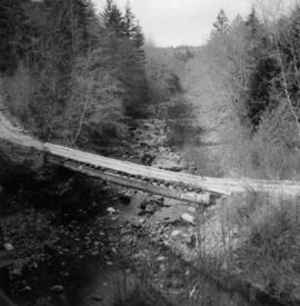
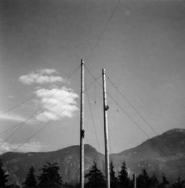
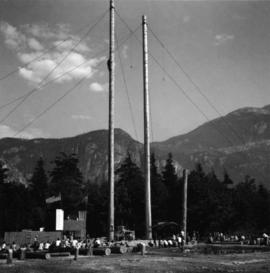
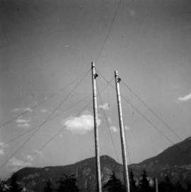
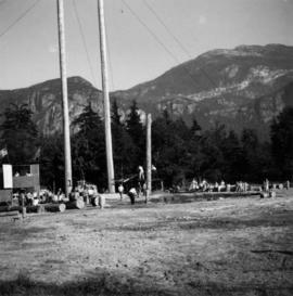
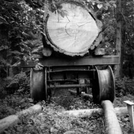
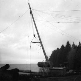
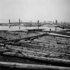
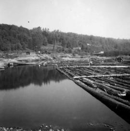
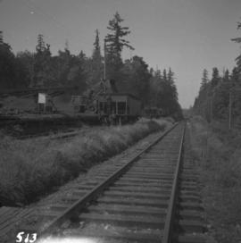
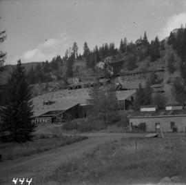
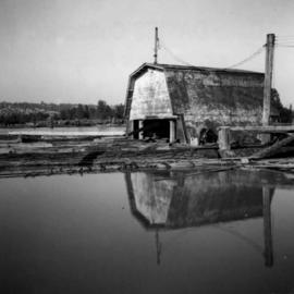
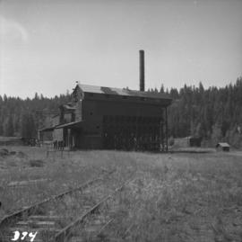
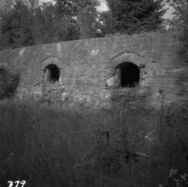
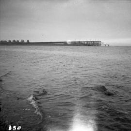
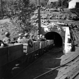
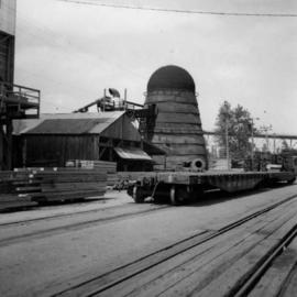
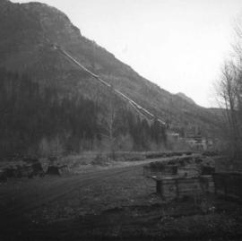
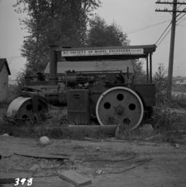
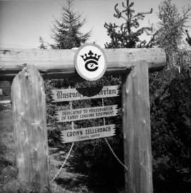
Photograph depicts a logging museum in Ladysmith on Vancouver Island.