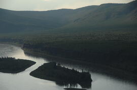
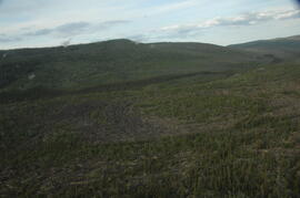
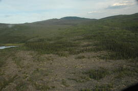
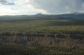
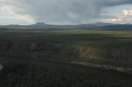
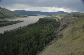
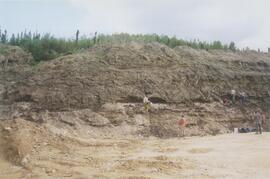
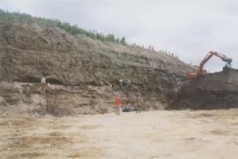
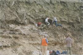
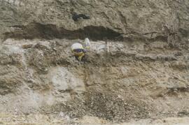
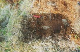
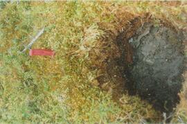
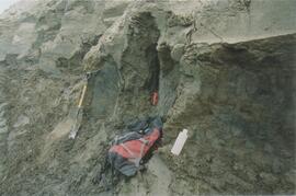
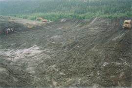
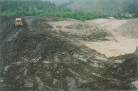
2012.13.1.98.59
·
Item
·
1999
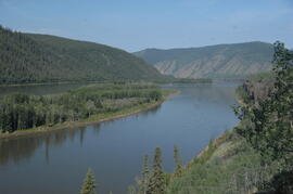
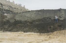
Part of J. Kent Sedgwick fonds
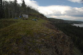
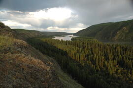
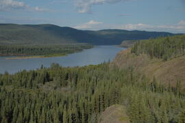
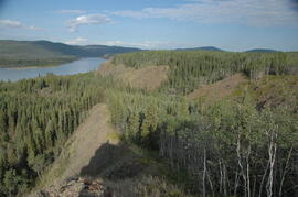
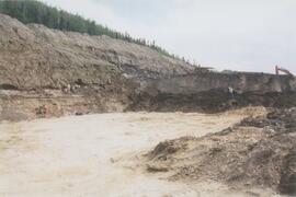
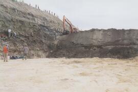
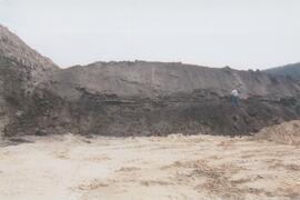
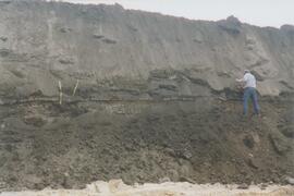
Image depicts a small section of the Alaska Highway somewhere near Whitehorse, Y.T. The slide also appears to be labelled "army washing" for unknown reasons.