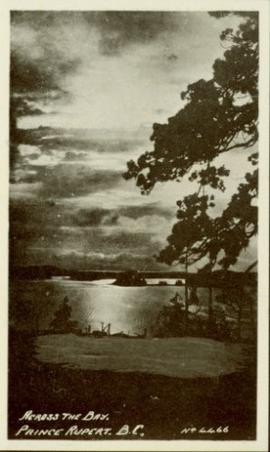
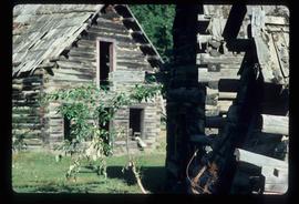
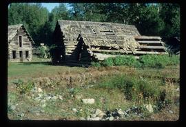
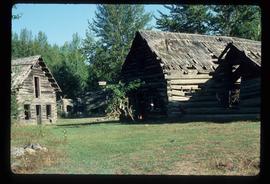
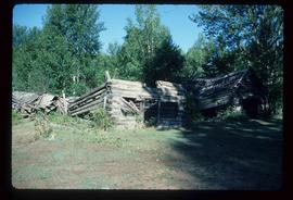
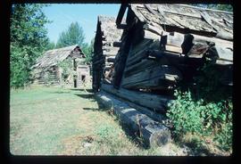
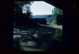
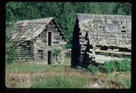
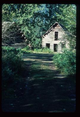
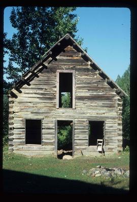
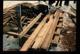
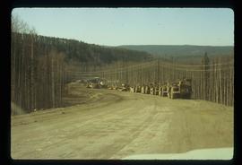
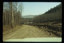
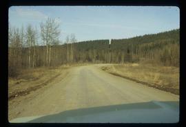
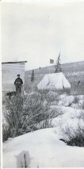
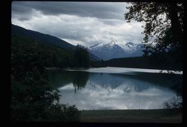
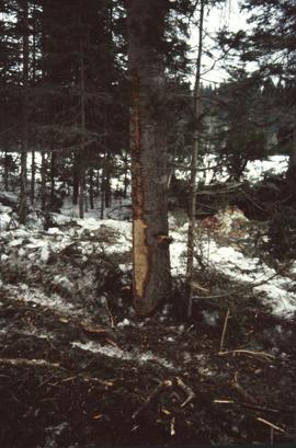
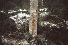
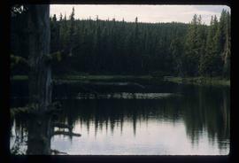
Image depicts a marker for aerial photography at an uncertain location. The slide labels it as "Elizabeth Station."
Image depicts an agricultural field, most likely near Prince George, B.C.
Foreground shows a rocky shore covered in debris. A small crowd is visible along the coastline, and there are foggy outlines of hills beyond the water. Annotation on recto reads: "McRae Bros After the Blast 24th Apr. 13."
Image depicts an aerial view of a forest somewhere in the area of Divide Lake.
View of summit lake from above, many small tree-covered islands and peninsulas visible. Handwritten caption beside this photo reads: "Sumit Lake".
Aerial view of Prince George featuring roadways and the confluence of the Fraser and Nechako rivers.
Annotation on verso: “Prince George from air 1936”.
Image depicts an aerial view of the land in the area of Divide Lake.
No annotation on slide.
Annotation on slide: "BC[?] advance regen. releasing in logged cedar block, ICHwk3"
Photograph of the bay at dusk. Trees and distant machinery are silhouetted against a cloudy sky and dark waterfront. Annotation on recto reads: "Across the Bay, Prince Rupert, BC No 4466."
No annotation provided on slide.
Annotation on slide: "Summit Lake, Light Abrasion".
Image depicts an old and abandoned, collapsing church at an uncertain location.
Image depicts several abandoned and collapsing cabins in Quesnelle Forks, B.C.
Image depicts part of a path leading to some abandoned cabins in Quesnelle Forks, B.C.
Image depicts an old, abandoned cabin with ivy growing up the side. The location is uncertain.
Image depicts an old and abandoned cabin with ivy growing up the side. The location is uncertain.
Image depicts an abandoned cabin in Quesnelle Forks, B.C.
Head on photograph of a trapper standing in front of his cabin in Prince Rupert, BC. The front of the cabin is covered in various pelts. Printed annotation on recto reads: "A Trappers Cabin near Prince Rupert."
Image depicts a street in Island Cache.
Image depicts what appears to be a shed at an uncertain location.
Image depicts a saw and numerous wooden boards at an uncertain location.
Image depicts a road somewhere in Tumbler Ridge, B.C. There are numerous construction vehicles present.
Image depicts a road somewhere in Tumbler Ridge, B.C. There are three bush planes in the image.
Image depicts a road somewhere in Tumbler Ridge, B.C.
Image depicts what appears to be a type of log bridge crossing a river somewhere on Haida Gwaii.
Image depicts a river in South Tweedsmuir Provincial Park. There is an unknown individual present in a canoe with the camera-man.
Image depicts a mountain peak, possibly Mt. Robson.
Image depicts a mountain, possibly Mt. Robson.
Photograph depicts a man standing in front of a wood shed beside a tent in a snow covered landscape.
Image depicts a man on the hiking trail near Mt. Robson, with a river in the background; it is possibly the Robson River.
Image depicts an elevated view of a lake and a road located somewhere near Bralorne, B.C.
Image depicts what is possibly Melita Lake. The mountain in the background is possibly Tseax Cone, the volcano responsible for the existence of the Tseax lava flow.
Image depicts a lake somewhere near Mt. Robson; it is possibly Kinney Lake.
Image depicts a lake in South Tweedsmuir Provincial Park.
Image depicts a lake in South Tweedsmuir Provincial Park. There is an unknown individual present in a canoe with the camera-man.
Image depicts a lake in South Tweedsmuir Provincial Park.