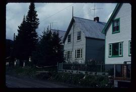
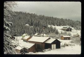
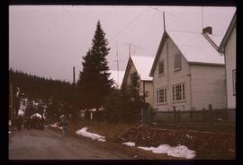
2013.6.36.1.072.22
·
Item
·
5 Sept. 1973
Part of David Davies Railway Collection
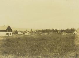
Photograph depicts a house on the southern edge of Chinatown.