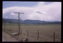
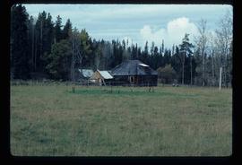
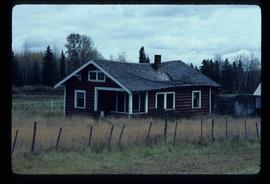
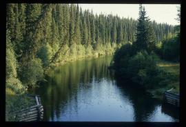
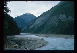
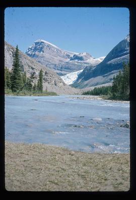
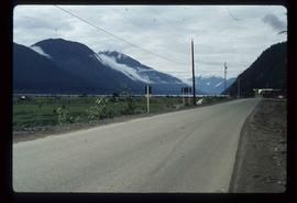
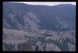
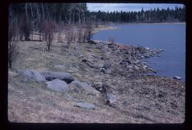
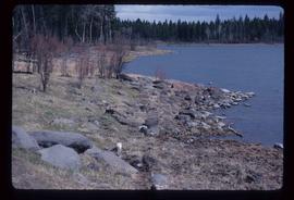
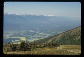
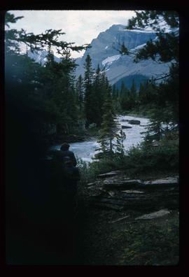
Image depicts a scenic view of a section of land at an unknown location.
Image depicts a scenic view of a mountain and forest at an uncertain location.
Image depicts a relatively flat section of land with hills in the distance; the location is uncertain.
Image depicts a saw cutting a log in half at a saw mill in Prince George, B.C.
Image depicts numerous stripped logs and several unidentified individuals in hard hats at a saw mill somewhere in Prince George, B.C.
Image depicts a sawmill, possibly Lakeland Sawmill, in Prince George B.C.
Image depicts logs being stripped of their bark at a saw mill in Prince George, B.C.
File contains slides depicting places in Saskatchewan.
Image depicts sand beds with a shovel present for size reference. The slide places it at the "BCR site," possibly in Prince George, B.C.
Image depicts an old log cabin in Salmon Valley.
Image depicts an old log house with a collapsing roof in Salmon Valley.
Image depicts the Salmon River by Fraser Lake.
Image depicts a small, ruined shed somewhere in the Okanagan Kettle Valley.
Image depicts several old, ruined cars and an unknown individual in Island Cache.
Image depicts a small foot bridge at an unknown location. The slide is simply labelled "Rudi's Bridge."
Image depicts two rows of houses in an unknown location.
Image depicts the rocky shore of an unidentified body of water, possibly near Meldrum Creek, B.C.
Image depicts a view of the Rocky Mountain Trench somewhere near McBride, B.C.
Image depicts the Rocky Mountain Trench from McBride, B.C.
Image depicts a view of an area somewhere near McBride in the Rocky Mountain Trench.
Image depicts the Rocky Mountain Trench from McBride, B.C.
Image depicts a view of the Rocky Mountain Trench somewhere near McBride, B.C.
Image depicts a view of McBride in the Rocky Mountain Trench.
Image depicts a heavily forested area located in the Rocky Mountain Trench, possibly near Dome Creek or Lamming Mills, B.C.
Image depicts a view of the Rocky Mountain Trench.
File contains slides depicting areas in and around the Rockies, Icefield Highway, and Jasper, Alberta.
Image depicts ridge-like rock formations at an uncertain location, though possibly somewhere near the Fraser River.
Image depicts the peak of the Rocher de Boule mountain from Hazelton, B.C.
Image depicts what is possibly the Robson River.
Image depicts a river, possibly the Robson River.
Image depicts what is possibly the Robson River.
Image depicts an old log cabin with the sign "Robin Hood Flour" on it at an uncertain location. It is possibly at the 153 Mile House.
Image depicts the road to Skagway, Alaska. Possibly located on the Klondike Highway in British Columbia with Tutshi Lake on the left.
Image depicts a road leading to Prince Rupert, B.C.
Image depicts the dirt road leading to Keithley Creek.
Image depicts the road leading to Hyder, which is on the other side of the Alaska-British Columbia border and is just a little south-west of Stewart, B.C.
Image depicts a road located somewhere near Birken, B.C.
Image depicts a north view of a road somewhere in Woodpecker, B.C.
Image depicts a ditch near a road somewhere in Woodpecker B.C.
Image depicts a road somewhere in Woodpecker, B.C.
Image depicts a water-filled ditch near a road somewhere in Woodpecker B.C.
Image depicts a road somewhere in the Upper Fraser Canyon, and a view of the hills and trees.
Image depicts a mountain located somewhere along the Skeena River, and a road alongside it.
Image depicts a road with what appears to be a junkyard to the right of the image, likely located somewhere in Seton Portage, B.C.