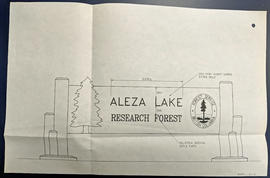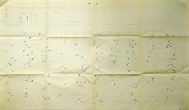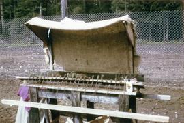
2007.1.80.1.05
·
Item
·
28 Oct. 1960
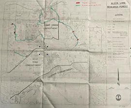
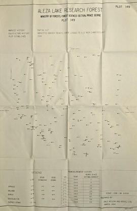
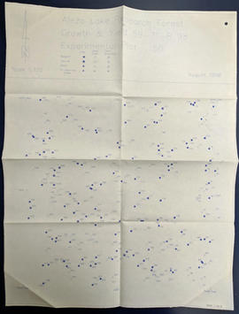
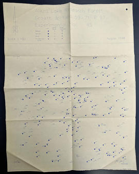
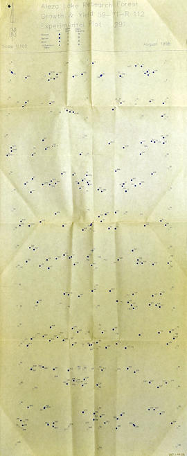
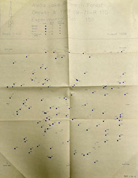
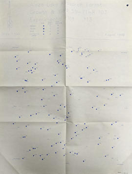
Part of Aleza Lake Research Forest fonds
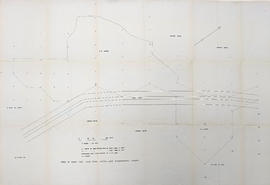
Technical drawing reflects depth of sand established as more and less than 6 feet.