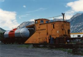
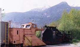
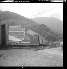
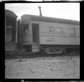
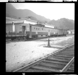
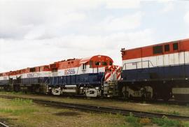
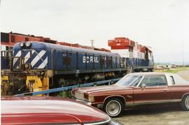
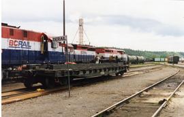
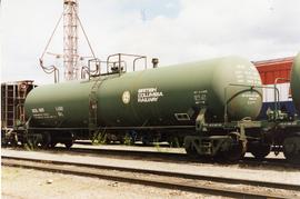
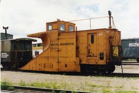
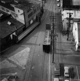
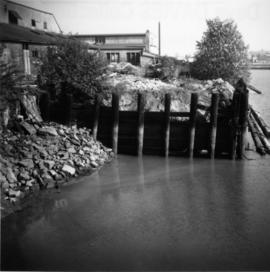
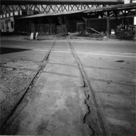
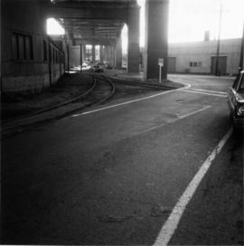
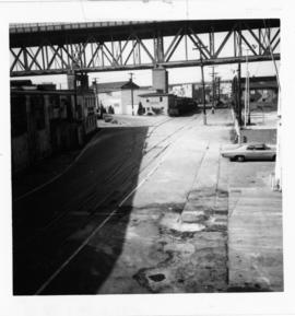
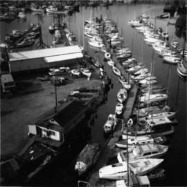
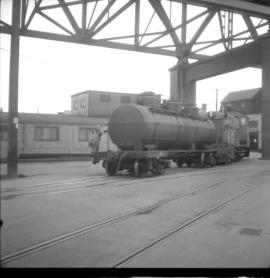
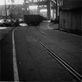
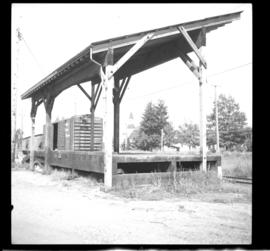
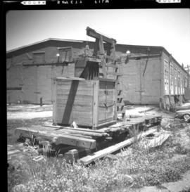
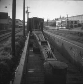
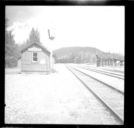
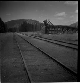
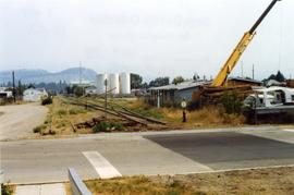
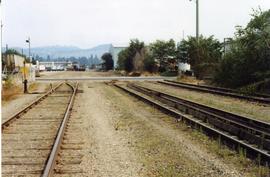
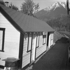
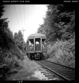
Photograph depicts the "Royal Hudson", a daily steam train that travelled from North Vancouver to Squamish.
Photograph depicts a BCR snow plow, possibly spotted in Lillooet.
Photograph depicts a BCR snow plow on a spur located opposite a former Squamish depot that was burned down. All the windows of the snow equipment in front of the plow were broken by vandals, so there was spare service for winter operations.
Photograph depicts northbound freight in Britannia Beach. A concentrator (copper) of Ana-Canada Company is found in the background.
Photograph depicts derelict bunk and cook cars of the former Pacific Great Eastern. Found on the siding of at the yards in Squamish. Car #990224 appears originally to have been an electric interurban car.
Photograph depicts work car #6406 in the Squamish yards.
Photograph depicts the yards in Williams Lake. Image captured on the new overpass that was being constructed at the time.
Photograph depicts a BCR track trolley.
Photograph depicts a BC Rail snow plow.
Photograph depicts BC Rail locomotives.
Photograph depicts a BC Rail locomotive.
Photograph depicts BC Rail locomotives.
Photograph depicts a BC Rail tank car.
Photograph depicts a BC Rail snow plow.
Photograph depicts BCR southbound freight.
Photograph depicts ballast car #3013.
Photograph depicts the a weighbridge, just to the north of the city centre of Abbotsford.
Photograph depicts one of six former sub-stations of the BC Electric Railway's 64 mile interurban railway between New Westminster and Chilliwack. It opened in 1910, but was closed in the 1950's due to electric traction. The interior had been vandalized, but the building (made out of concrete) was so well built that the structure itself was quite sound.
Photograph taken at the west end of Johnston Street at the plant of Arrow Transfer Company Ltd.
Photograph taken looking southwest at the Granville Island to the mainland connection.
Photograph taken looking eastward, down a service rail track way, from Granville Bridge.
Photograph taken looking westward, down Johnston Street from the Granville Bridge. Davies notes minimal clearance on the left side of the track.
Photograph taken looking eastward, down Johnston Street.
Photograph taken looking eastward on Johnston Street.
Photograph depicts the northwest part of Granville Island, taken from the Granville bridge. A spur was covered with parked cars.
Photograph taken near downtown Vancouver. Image captured the south side, just east of the centre line.
Photograph depicts an unused spur leading southward to Morrison Steel and Wire Company Ltd. The spur crosses a disused line running on the south side of Cartwright Street.
Photograph taken looking southward under the arches of Granville Bridge along the rail road entry as well as exit to the Island.
Photograph taken looking westward along Johnston Street.
Photograph taken on the southwest side of Granville Island. After 2 years of hassle with owner Clay, Davies notes, the city of Vancouver purchased his property so as to re-develop the whole area as part of the False Creek clean up. There was opposition coming from moorage renters.
Photograph depicts BCER freight switching on the Island's trackage with B.C. locomotive #901 and tank car, property of Union Tank Car Company, built in 1926. Image captured directly underneath Granville Bridge.
Photograph taken on Cartwright Street, looking eastward. Track to the right is unusable because the switch towards the right is blocked over.
Photograph taken looking westward, down Cartwright Street. Trackage seen was not usable. Switch was blacktopped into position. The far end of the spur was used to lead to Columbia Bitolithic Ltd. Unseen track on the right side of the road was still in use.
Photograph taken looking southeast at the trackage underneath Granville Bridge.
Photograph depicts the passing loop and goods shed found at the Milner Siding. The main line had just been uprgaded to take coal units trains to Roberts Bank.
Photograph depicts former BC Electric car barns in New Westminster. In the foreground remained an old flat and possibly a hoist for battery plates.
Photograph depicts a steam crane with a jib in a gondola car. It is en route to an iron works in Burnaby.
Photograph depicts a BCER rail bridge at the entrance to False Creek, Vancouver.
Photograph depicts old BC Electric Railway interurbans purchased for restoration by the government of BC from an Oregon owner. They stood in the CPR Duke Street Yards in Vancouver.
Photograph depicts Beaver Trucking located on Kamloops Indian Reserve No. 1 on Tk'emlups te Secwepemc territory, Kamloops, BC. It had been a company since 1990 and received 2 or 3 boxcars weekly loaded with items from Toronto that were then delivered around town. Davies later noted that the business was destroyed by arson in 1997.
Photograph depicts the Beaverdell Bridge, located between Rock Creek and Kelowna, BC
Photograph depicts the CPR Beaverdell depot located at about 35 miles northeast of Osoyoos and at mile 91.4 east of Penticton on the Carmi Subdivision. The traffic here is ore from a local mine, some lumber, and freight for the village. The depot building is in use and has a telegraph. There is also siding capacity for 31 cars. This section was built between 1914 and 1915. The view is looking north.
Photograph depicts the CPR depot at Beaverdell, located at about mile 42.3 on the Carmi Subdivision. To the right is an ore loader for concentrate from mines. There is no rail traffic at this date. The view is looking north.
Photograph depicts the downtown area in which prior to 1998, the CNR had a loop. It ran west beside Clement and after crossing over Ellis, turned north for a couple of blocks, then turned east, back over Ellis, and along Recreation Street and Weddell.
Photograph depicts the Big Bar Creek ferry crossing over the Fraser River.
Photograph depicts the only biplane and canavas covered, light aircraft amongst a group of 25 machines in excellent condition.
Photograph depicts Birch Island Bridge over the North Thompson River.
Photograph depicts Birken Station on the Pacific Great Eastern. It is 113.6 miles from North Vancouver and at an altitude for 1575 ft. The view is looking north.