2012.13.2.16.24.3
·
Item
·
[2001?]
Part of J. Kent Sedgwick fonds
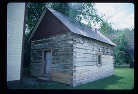
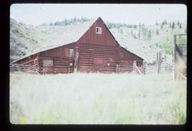
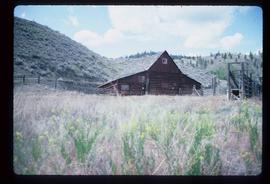
The item is a photograph depicting three weathered schoolhouses lined next to each other. The schools are from Hart Highway, Shady Valley, and Westlake. They are shown at their relocation to the Myatovic farmland. Annotation on reverse side of photograph states, "Myatovic property, N side looking west - left - Hart Hwy, Mid - Shady V, right - West L."