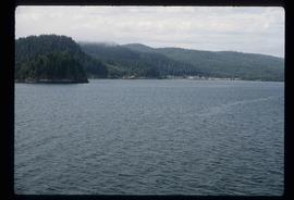
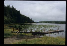
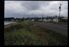
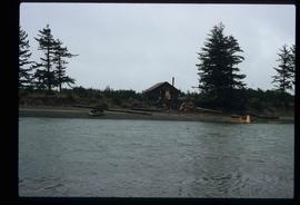
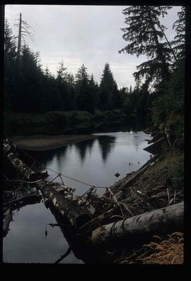
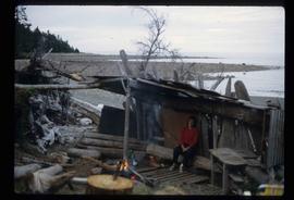
Image depicts what appears to be a type of log bridge crossing a river somewhere on Haida Gwaii.
Image depicts numerous buildings on the shore of Haida Gwaii as the ferry approaches.
Image depicts numerous buildings and a dock on the shore of Haida Gwaii, B.C..
Image depicts an individual sitting on a dock on a lake somewhere on Haida Gwaii.
Image depicts a ferry docked at Haida Gwaii, B.C.
Image depicts a building surrounded by a tall, circular enclosure somewhere on Haida Gwaii, B.C.
Image depicts a fence and power lines near the shore on Haida Gwaii. It is possibly a small community such as Masset.
File contains slides depicting places on Haida Gwaii, formerly known as the Queen Charlotte Islands.
Image depicts a house on the shore somewhere on Haida Gwaii.
Image depicts a house with some Firts Nations' art painted on the front, somewhere on Haida Gwaii, B.C.
Image depicts Kent Sedgwick standing on the other side of a log bridge in a forest somewhere on Haida Gwaii.
Image depicts a lake with lily pads somewhere on Haida Gwaii.
Image depicts several individuals seated on a ferry as it possibly departs from a dock somewhere in Prince Rupert, B.C. It is most likely headed for Haida Gwaii, B.C.
Image depicts a row of houses in the village of Masset on Haida Gwaii.
Image depicts an individual walking on a a log bridge in a forest somewhere on Haida Gwaii.
Image depicts a totem pole and a playground in what appears to be a residential area somewhere on Haida Gwaii, B.C.
Image depicts a woman, possibly Sue Sedgwick, sitting in a shack on a beach on Haida Gwaii.
Image depicts a shed on the shore somewhere on Haida Gwaii.
Image depicts the community of Skidegate on Haida Gwaii.
Image depicts several individuals examining totem poles which are possibly undergoing a restoration process somewhere on Haida Gwaii.