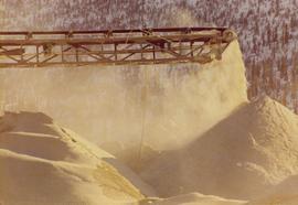
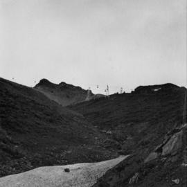
2000.1.1.3.13.57
·
Item
·
[ca. 1975]
Part of Cassiar Asbestos Corporation Ltd. fonds
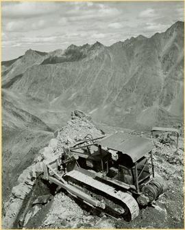
Photograph depicts the Cassiar mine, pit partially visible behind West peak in right centre of image. South west mountain range in background.